Kapenguria night lights from space
Night Light of Kapenguria (West Pokot) from space (Kenya) Src. Average luminocity for 10x10km area is 3.0584% and for 50x50km: 0.3342%.
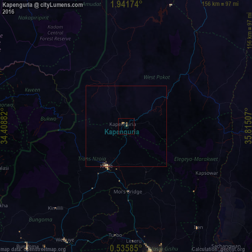
Analysis of Kapenguria night lights 2016
Square area 10x10 km:
 0%
0%90-99
0%80-89
0%70-79
1.73%60-69
0.87%50-59
0.87%40-49
0%30-39
0.22%20-29
1.52%10-19
0%0-9
94.81%Square area 50x50 km:
0%90-99
0.02%80-89
0.06%70-79
0.08%60-69
0.07%50-59
0.03%40-49
0.07%30-39
0.05%20-29
0.18%10-19
0.04%0-9
99.39%Clear (daylight) street map image can be seen on geolist.org.
Map coordinates:
1° 56' 30.3" North, 34° 24' 31.8" East
1° 14' 20" North, 35° 6' 43" East
0° 32' 9.1" North, 35° 48' 54.3" East
Some cities around Kapenguria sort by population:
• Eldoret
81.8 km =50.8 mi,  167°
167°
• Kitale
27.5 km =17.1 mi,  205°
205°
• Bungoma
96.9 km =60.2 mi,  219°
219°
• Iten
77 km =47.8 mi,  145°
145°
• Webuye
80.5 km =50 mi, 208°
• Sironko, UG
96.1 km =59.7 mi,  269°
269°
• Kapchorwa, UG
75.7 km =47 mi,  283°
283°
• Kapsowar
57.5 km =35.7 mi,  120°
120°
194160 (p: 56,000)
Sources (retrieved 2019-11-25):
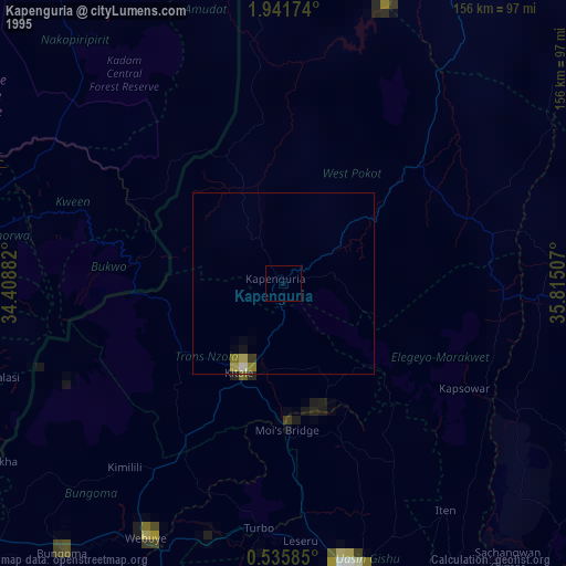
» NASA, Earths city lights 1995
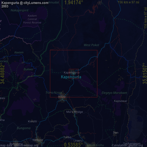
» NASA city lights 2003
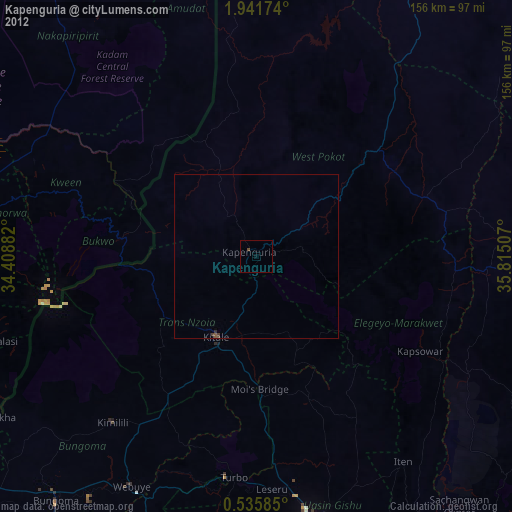
» Earth at Night: Flat Maps 2012, 2016