Kitale night lights from space
Night Light of Kitale (Trans Nzoia) from space (Kenya) Src. Average luminocity for 10x10km area is 9.4654% and for 50x50km: 0.5061%.

Analysis of Kitale night lights 2016
Square area 10x10 km:
 0%
0%90-99
0.87%80-89
1.95%70-79
0.87%60-69
2.38%50-59
0.87%40-49
3.03%30-39
1.52%20-29
3.03%10-19
1.95%0-9
83.55%Square area 50x50 km:
0%90-99
0.03%80-89
0.08%70-79
0.03%60-69
0.1%50-59
0.13%40-49
0.17%30-39
0.09%20-29
0.17%10-19
0.13%0-9
99.07%Clear (daylight) street map image can be seen on geolist.org.
Map coordinates:
1° 43' 7.1" North, 34° 18' 11.2" East
1° 0' 56.6" North, 35° 0' 22.4" East
0° 18' 45.5" North, 35° 42' 33.7" East
Some cities around Kitale sort by population:
• Eldoret
62.4 km =38.8 mi,  151°
151°
• Kakamega
86.1 km =53.5 mi,  199°
199°
• Kapenguria
27.5 km =17.1 mi,  25°
25°
• Bungoma
70.6 km =43.9 mi,  224°
224°
• Iten
67.7 km =42.1 mi,  124°
124°
• Webuye
53.1 km =33 mi,  209°
209°
• Kapchorwa, UG
75.2 km =46.7 mi,  304°
304°
• Kapsowar
61.5 km =38.2 mi,  93°
93°
191220 (p: 75,123)
Sources (retrieved 2019-11-25):
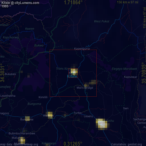
» NASA, Earths city lights 1995
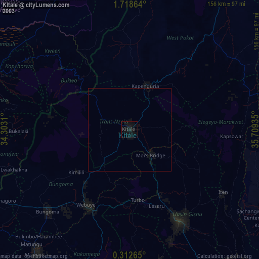
» NASA city lights 2003
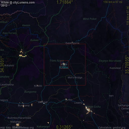
» Earth at Night: Flat Maps 2012, 2016