Maralal night lights from space
Night Light of Maralal (Samburu) from space (Kenya) Src. Average luminocity for 10x10km area is 3.961% and for 50x50km: 0.1584%.
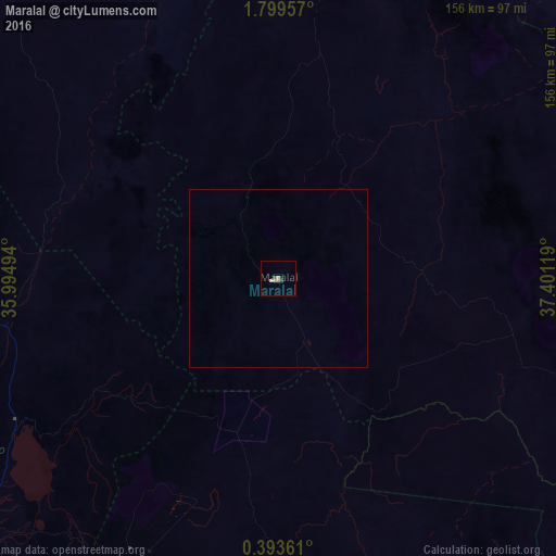
Analysis of Maralal night lights 2016
Square area 10x10 km:
 0%
0%90-99
0%80-89
0.87%70-79
1.95%60-69
0.65%50-59
0%40-49
0.87%30-39
0.87%20-29
0.87%10-19
0%0-9
93.94%Square area 50x50 km:
0%90-99
0%80-89
0.03%70-79
0.08%60-69
0.03%50-59
0%40-49
0.03%30-39
0.03%20-29
0.03%10-19
0%0-9
99.76%Clear (daylight) street map image can be seen on geolist.org.
Map coordinates:
1° 47' 58.5" North, 35° 59' 41.8" East
1° 5' 48" North, 36° 41' 53" East
0° 23' 37" North, 37° 24' 4.3" East
Some cities around Maralal sort by population:
• Iten
140.5 km =87.3 mi,  250°
250°
• Nanyuki
128.2 km =79.7 mi,  160°
160°
• Isiolo
128.3 km =79.7 mi,  130°
130°
• Nyahururu
123.4 km =76.7 mi,  197°
197°
• Kabarnet
125.7 km =78.1 mi,  237°
237°
• Kapsowar
127.4 km =79.2 mi,  264°
264°
• Baringo
107.3 km =66.7 mi,  229°
229°
• Rumuruti
93.3 km =58 mi,  190°
190°
187725 (p: 20,841)
Sources (retrieved 2019-11-25):
» Earth at Night: Flat Maps 2012, 2016