Moroto night lights from space
Night Light of Moroto (Northern Region) from space (Uganda) Src. Average luminocity for 10x10km area is 0% and for 50x50km: 0%.
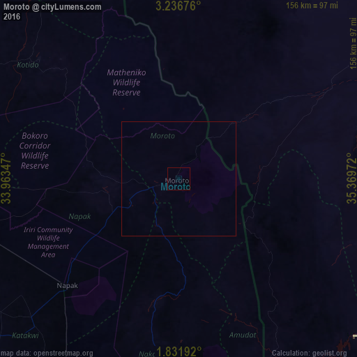
Analysis of Moroto night lights 2016
Square area 10x10 km:
 0%
0%90-99
0%80-89
0%70-79
0%60-69
0%50-59
0%40-49
0%30-39
0%20-29
0%10-19
0%0-9
100%Square area 50x50 km:
0%90-99
0%80-89
0%70-79
0%60-69
0%50-59
0%40-49
0%30-39
0%20-29
0%10-19
0%0-9
100%Clear (daylight) street map image can be seen on geolist.org.
Map coordinates:
3° 14' 12.3" North, 33° 57' 48.5" East
2° 32' 4.3" North, 34° 39' 59.7" East
1° 49' 54.9" North, 35° 22' 11" East
Some cities around Moroto sort by population:
• Mbale
170.5 km =105.9 mi,  198°
198°
• Soroti
148.5 km =92.3 mi,  232°
232°
• Kapenguria, KE
152.3 km =94.6 mi,  161°
161°
• Lodwar, KE
122.1 km =75.9 mi,  57°
57°
• Kotido
77.3 km =48 mi,  309°
309°
• Sironko
152.2 km =94.6 mi, 197°
• Kumi
144.4 km =89.7 mi,  214°
214°
• Kapchorwa
128.3 km =79.7 mi,  190°
190°
229112 (p: 10,300)
Sources (retrieved 2019-11-25):
» Earth at Night: Flat Maps 2012, 2016