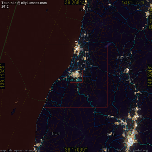
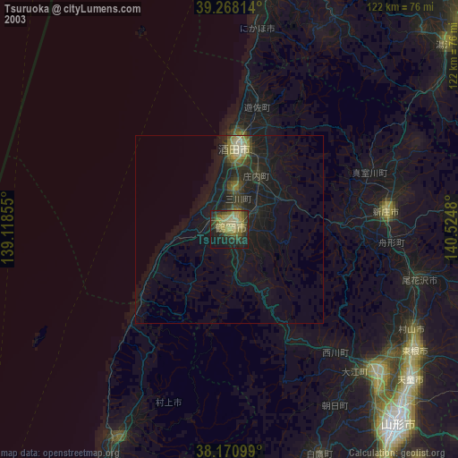
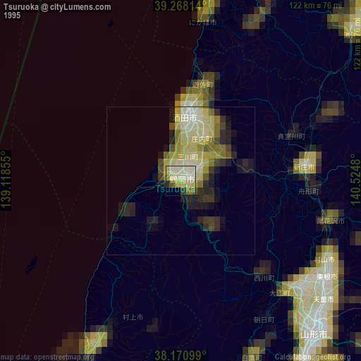
Tsuruoka night lights from space
Night Light of Tsuruoka (Yamagata) from space (Japan) Src. Average luminocity for 10x10km area is 24.7891% and for 50x50km: 3.0477%.
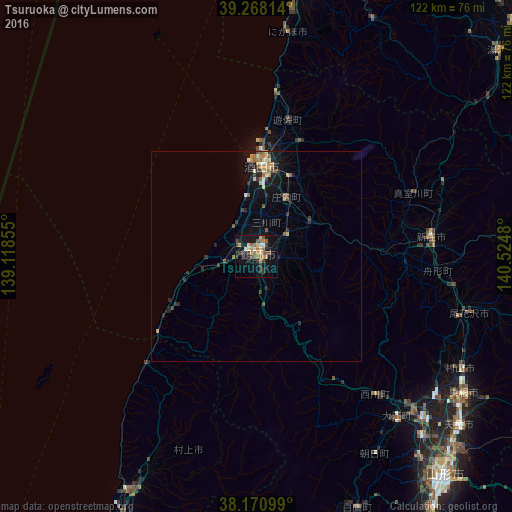
Analysis of Tsuruoka night lights 2016
Square area 10x10 km:
 1.36%
1.36%90-99
1.7%80-89
3.23%70-79
4.76%60-69
3.74%50-59
4.76%40-49
6.12%30-39
4.42%20-29
4.59%10-19
20.41%0-9
44.9%Square area 50x50 km:
0.15%90-99
0.26%80-89
0.41%70-79
0.48%60-69
0.51%50-59
0.39%40-49
0.52%30-39
0.55%20-29
0.83%10-19
2.52%0-9
93.39%Clear (daylight) street map image can be seen on geolist.org.
Map coordinates:
39° 16' 5.3" North, 139° 7' 6.8" East
38° 43' 18" North, 139° 49' 18" East
38° 10' 15.6" North, 140° 31' 29.3" East
Some cities around Tsuruoka sort by population:
• Sakata
21.9 km =13.6 mi,  7°
7°
• Tendō
62.8 km =39 mi,  130°
130°
• Higashine
59.3 km =36.8 mi,  122°
122°
• Sagae
55.2 km =34.3 mi, 134°
• Shinjō
41.8 km =26 mi,  84°
84°
• Murakami
61.8 km =38.4 mi,  208°
208°
• Obanazawa
52.1 km =32.4 mi,  104°
104°
• Yuza
34 km =21.1 mi,  15°
15°
1849563 (p: 99,820)
Sources (retrieved 2019-11-25):
» NASA, Earths city lights 1995
» NASA city lights 2003
» Earth at Night: Flat Maps 2012, 2016