Sagae night lights from space
Night Light of Sagae (Yamagata) from space (Japan) Src. Average luminocity for 10x10km area is 25.2415% and for 50x50km: 7.6081%.
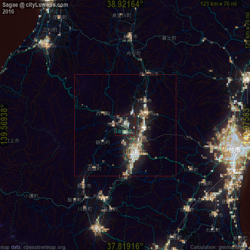
Analysis of Sagae night lights 2016
Square area 10x10 km:
 1.19%
1.19%90-99
2.38%80-89
1.7%70-79
0.85%60-69
1.87%50-59
7.48%40-49
7.99%30-39
5.27%20-29
7.48%10-19
45.58%0-9
18.2%Square area 50x50 km:
0.53%90-99
1.08%80-89
0.82%70-79
0.7%60-69
0.76%50-59
1.68%40-49
1.64%30-39
1.24%20-29
3.17%10-19
7.03%0-9
81.35%Clear (daylight) street map image can be seen on geolist.org.
Map coordinates:
38° 55' 17.9" North, 139° 34' 9.8" East
38° 22' 21" North, 140° 16' 21" East
37° 49' 9" North, 140° 58' 32.3" East
Some cities around Sagae sort by population:
• Yamagata
17.5 km =10.9 mi,  152°
152°
• Tendō
8.7 km =5.4 mi,  103°
103°
• Higashine
13.4 km =8.3 mi,  56°
56°
• Shinjō
43 km =26.7 mi,  3°
3°
• Kaminoyama
24.3 km =15.1 mi,  179°
179°
• Nagai
36.4 km =22.6 mi,  214°
214°
• Takahata
41.8 km =26 mi,  189°
189°
• Obanazawa
28 km =17.4 mi,  23°
23°
2111248 (p: 43,544)
Sources (retrieved 2019-11-25):
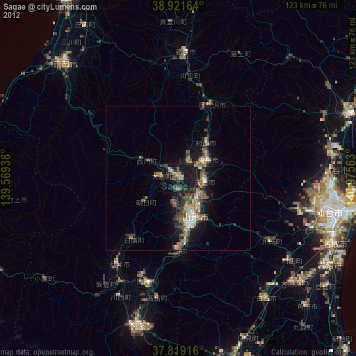
» Earth at Night: Flat Maps 2012, 2016