Shinjō night lights from space
Night Light of Shinjō (Yamagata) from space (Japan) Src. Average luminocity for 10x10km area is 6.915% and for 50x50km: 0.4859%.
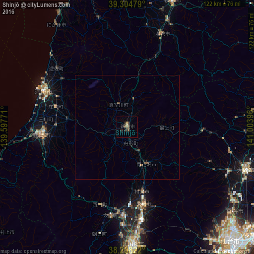
Analysis of Shinjō night lights 2016
Square area 10x10 km:
 0%
0%90-99
0.34%80-89
0.68%70-79
1.02%60-69
1.36%50-59
2.04%40-49
2.72%30-39
2.04%20-29
1.36%10-19
0%0-9
88.44%Square area 50x50 km:
0%90-99
0.01%80-89
0.03%70-79
0.07%60-69
0.08%50-59
0.14%40-49
0.22%30-39
0.15%20-29
0.18%10-19
0.04%0-9
99.08%Clear (daylight) street map image can be seen on geolist.org.
Map coordinates:
39° 18' 17.2" North, 139° 35' 51.8" East
38° 45' 31" North, 140° 18' 3" East
38° 12' 29.6" North, 141° 0' 14.3" East
Some cities around Shinjō sort by population:
• Sakata
42.4 km =26.3 mi,  294°
294°
• Tsuruoka
41.8 km =26 mi,  264°
264°
• Tendō
45.4 km =28.2 mi,  172°
172°
• Higashine
36.6 km =22.7 mi, 166°
• Sagae
43 km =26.7 mi,  183°
183°
• Yuzawa
48.5 km =30.1 mi,  20°
20°
• Obanazawa
19.4 km =12.1 mi,  153°
153°
• Yuza
43 km =26.7 mi,  311°
311°
2111065 (p: 41,140)
Sources (retrieved 2019-11-25):
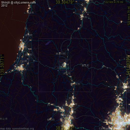
» Earth at Night: Flat Maps 2012, 2016