Tendō night lights from space
Night Light of Tendō (Yamagata) from space (Japan) Src. Average luminocity for 10x10km area is 30.5068% and for 50x50km: 7.6974%.
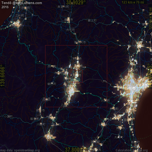
Analysis of Tendō night lights 2016
Square area 10x10 km:
 1.02%
1.02%90-99
4.59%80-89
2.89%70-79
2.04%60-69
2.38%50-59
7.99%40-49
5.78%30-39
6.29%20-29
15.14%10-19
40.99%0-9
10.88%Square area 50x50 km:
0.53%90-99
1.08%80-89
0.82%70-79
0.72%60-69
0.76%50-59
1.68%40-49
1.65%30-39
1.33%20-29
3.26%10-19
7.05%0-9
81.12%Clear (daylight) street map image can be seen on geolist.org.
Map coordinates:
38° 54' 10.4" North, 139° 39' 59.8" East
38° 21' 13" North, 140° 22' 11" East
37° 48' 0.5" North, 141° 4' 22.3" East
Some cities around Tendō sort by population:
• Sendai
44.4 km =27.6 mi,  102°
102°
• Yamagata
13.4 km =8.3 mi,  181°
181°
• Higashine
9.9 km =6.2 mi,  15°
15°
• Sagae
8.7 km =5.4 mi,  283°
283°
• Kaminoyama
23.7 km =14.7 mi,  200°
200°
• Nagai
40.3 km =25 mi,  226°
226°
• Takahata
42 km =26.1 mi, 201°
• Obanazawa
27.9 km =17.3 mi,  5°
5°
2110793 (p: 65,393)
Sources (retrieved 2019-11-25):
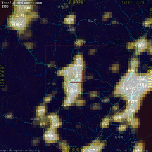
» NASA, Earths city lights 1995
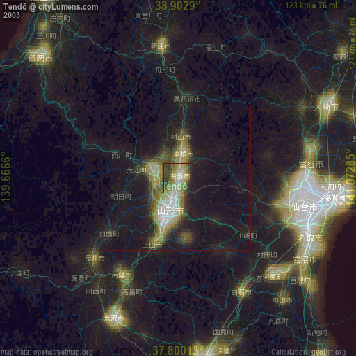
» NASA city lights 2003
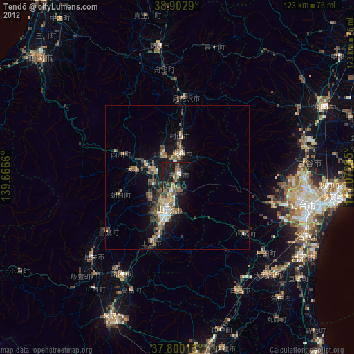
» Earth at Night: Flat Maps 2012, 2016