Murakami night lights from space
Night Light of Murakami (Niigata) from space (Japan) Src. Average luminocity for 10x10km area is 8.4643% and for 50x50km: 1.0684%.

Analysis of Murakami night lights 2016
Square area 10x10 km:
 0%
0%90-99
1.36%80-89
0%70-79
0%60-69
1.36%50-59
3.4%40-49
1.7%30-39
3.06%20-29
4.59%10-19
0.85%0-9
83.67%Square area 50x50 km:
0.06%90-99
0.12%80-89
0.07%70-79
0.07%60-69
0.15%50-59
0.26%40-49
0.29%30-39
0.2%20-29
0.29%10-19
0.17%0-9
98.32%Clear (daylight) street map image can be seen on geolist.org.
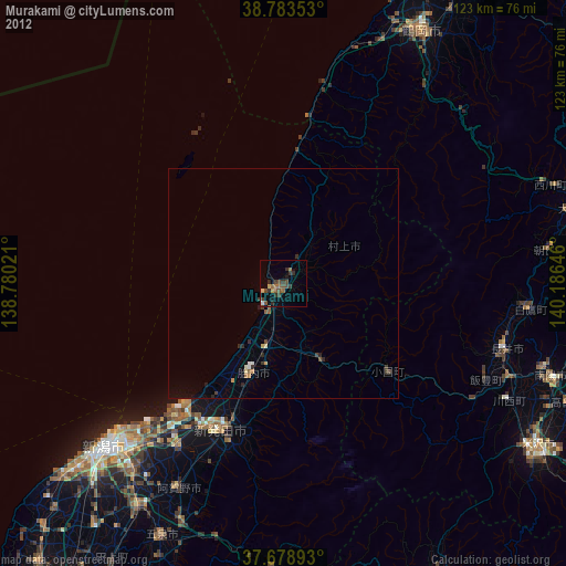
Map coordinates:
38° 47' 0.7" North, 138° 46' 48.8" East
38° 13' 60" North, 139° 28' 60" East
37° 40' 44.1" North, 140° 11' 11.3" East
Some cities around Murakami sort by population:
• Niigata
56.9 km =35.4 mi,  227°
227°
• Tsuruoka
61.8 km =38.4 mi,  28°
28°
• Shibata
34.1 km =21.2 mi,  202°
202°
• Niitsu-honchō
57.6 km =35.8 mi,  213°
213°
• Gosen
62.1 km =38.6 mi, 206°
• Kameda-honchō
51.8 km =32.2 mi,  219°
219°
• Nagai
50.3 km =31.3 mi,  106°
106°
• Suibara
48.4 km =30.1 mi, 207°
1856434 (p: 31,334)
Sources (retrieved 2019-11-25):
» Earth at Night: Flat Maps 2012, 2016