Sakata night lights from space
Night Light of Sakata (Yamagata) from space (Japan) Src. Average luminocity for 10x10km area is 33.0357% and for 50x50km: 3.2733%.
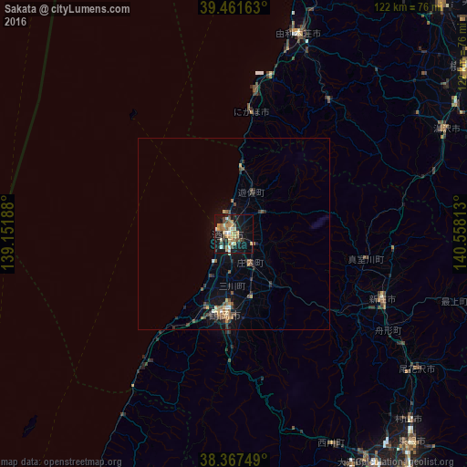
Analysis of Sakata night lights 2016
Square area 10x10 km:
 1.87%
1.87%90-99
5.27%80-89
6.29%70-79
5.95%60-69
6.63%50-59
3.06%40-49
5.1%30-39
4.08%20-29
3.4%10-19
35.03%0-9
23.3%Square area 50x50 km:
0.15%90-99
0.28%80-89
0.43%70-79
0.5%60-69
0.55%50-59
0.43%40-49
0.67%30-39
0.5%20-29
0.77%10-19
2.85%0-9
92.88%Clear (daylight) street map image can be seen on geolist.org.
Map coordinates:
39° 27' 41.9" North, 139° 9' 6.8" East
38° 55' 0" North, 139° 51' 18" East
38° 22' 3" North, 140° 33' 29.3" East
Some cities around Sakata sort by population:
• Tsuruoka
21.9 km =13.6 mi,  187°
187°
• Higashine
71.2 km =44.2 mi,  138°
138°
• Sagae
70.5 km =43.8 mi,  149°
149°
• Shinjō
42.4 km =26.3 mi,  114°
114°
• Yokote
74.7 km =46.4 mi,  53°
53°
• Yuzawa
62.3 km =38.7 mi,  63°
63°
• Obanazawa
58.8 km =36.5 mi,  126°
126°
• Yuza
12.7 km =7.9 mi,  30°
30°
1853140 (p: 100,446)
Sources (retrieved 2019-11-25):
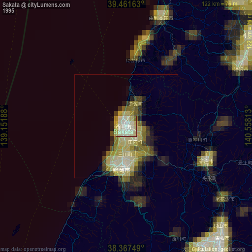
» NASA, Earths city lights 1995
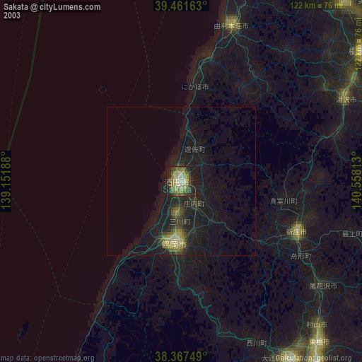
» NASA city lights 2003
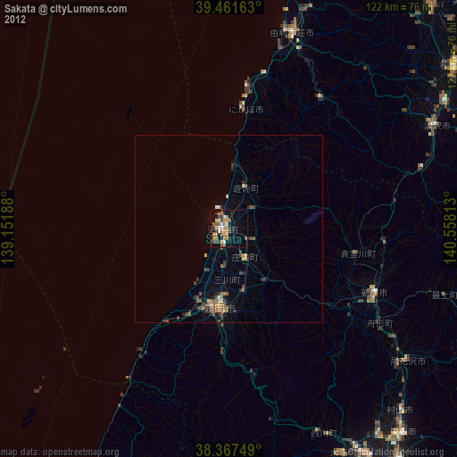
» Earth at Night: Flat Maps 2012, 2016