Obita night lights from space
Night Light of Obita (Nagasaki) from space (Japan) Src. Average luminocity for 10x10km area is 38.9878% and for 50x50km: 8.2739%.
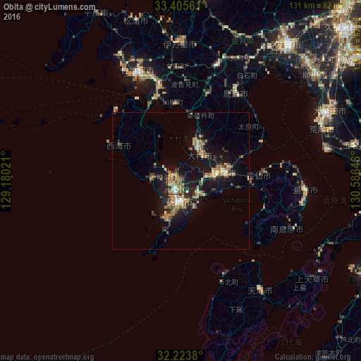
Analysis of Obita night lights 2016
Square area 10x10 km:
 2.8%
2.8%90-99
2.8%80-89
5.24%70-79
8.92%60-69
11.71%50-59
5.24%40-49
4.37%30-39
7.17%20-29
14.16%10-19
24.3%0-9
13.29%Square area 50x50 km:
0.35%90-99
0.76%80-89
1.1%70-79
1.34%60-69
1.81%50-59
1.26%40-49
0.88%30-39
1.61%20-29
2.34%10-19
8.36%0-9
80.19%Clear (daylight) street map image can be seen on geolist.org.
Map coordinates:
33° 24' 20.2" North, 129° 10' 48.8" East
32° 49' 0" North, 129° 52' 60" East
32° 13' 25.7" North, 130° 35' 11.3" East
Some cities around Obita sort by population:
• Nagasaki
7.4 km =4.6 mi,  180°
180°
• Sasebo
41.8 km =26 mi,  339°
339°
• Isahaya
15.2 km =9.4 mi,  79°
79°
• Ōmura
13.4 km =8.3 mi,  29°
29°
• Takeochō-takeo
43.5 km =27 mi,  17°
17°
• Kashima
37.5 km =23.3 mi, 30°
• Togitsu
3.6 km =2.2 mi,  300°
300°
• Ureshinomachi-shimojuku
34.8 km =21.6 mi, 18°
1854807 (p: 45,293)
Sources (retrieved 2019-11-25):
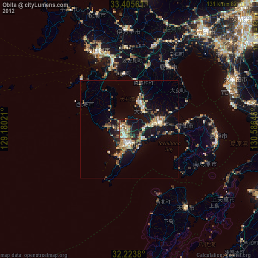
» Earth at Night: Flat Maps 2012, 2016