Tatebayashi night lights from space
Night Light of Tatebayashi (Gunma) from space (Japan) Src. Average luminocity for 10x10km area is 52.243% and for 50x50km: 43.8219%.
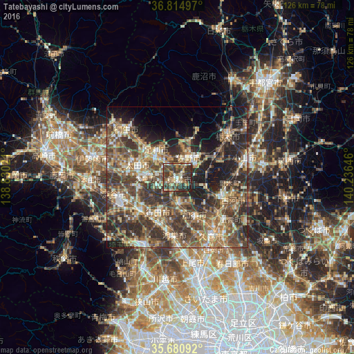
Analysis of Tatebayashi night lights 2016
Square area 10x10 km:
 2.27%
2.27%90-99
10.31%80-89
4.9%70-79
5.77%60-69
10.84%50-59
9.27%40-49
20.45%30-39
21.5%20-29
12.41%10-19
2.27%0-9
0%Square area 50x50 km:
2.81%90-99
6.99%80-89
5.24%70-79
6.21%60-69
8.63%50-59
9.51%40-49
12.23%30-39
12.09%20-29
12.32%10-19
11.72%0-9
12.25%Clear (daylight) street map image can be seen on geolist.org.
Map coordinates:
36° 48' 53.9" North, 138° 49' 48.8" East
36° 15' 0" North, 139° 31' 60" East
35° 40' 51.3" North, 140° 14' 11.3" East
Some cities around Tatebayashi sort by population:
• Ashikaga
11.9 km =7.4 mi,  321°
321°
• Ōta
15.9 km =9.9 mi,  290°
290°
• Gyōda
13.8 km =8.6 mi,  208°
208°
• Sano
8.7 km =5.4 mi,  31°
31°
• Hanyū
9.3 km =5.8 mi,  180°
180°
• Tanuma
13.7 km =8.5 mi,  19°
19°
• Menuma
13.9 km =8.6 mi,  257°
257°
• Fujioka
10.5 km =6.5 mi,  90°
90°
1850559 (p: 81,274)
Sources (retrieved 2019-11-25):
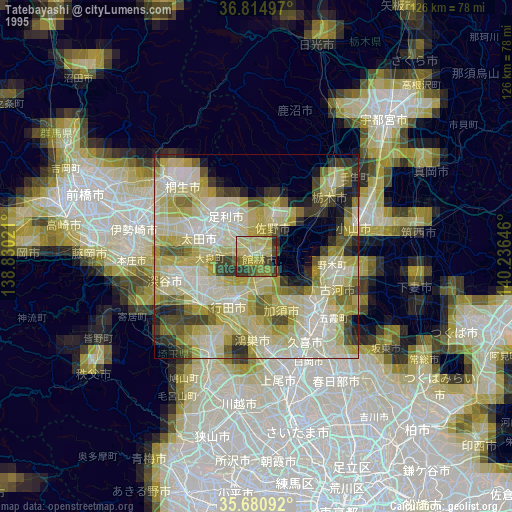
» NASA, Earths city lights 1995
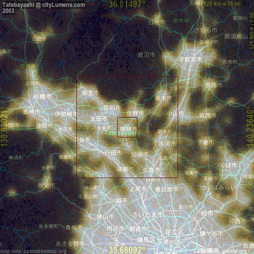
» NASA city lights 2003
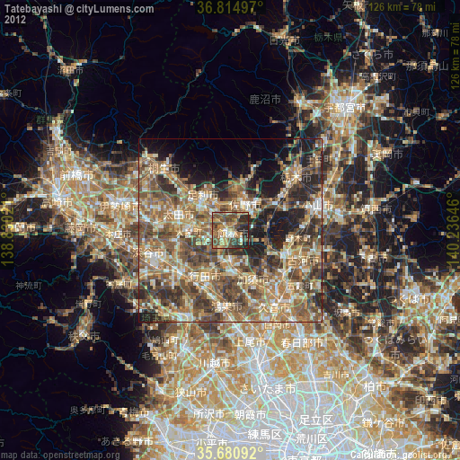
» Earth at Night: Flat Maps 2012, 2016