Hanyū night lights from space
Night Light of Hanyū (Saitama) from space (Japan) Src. Average luminocity for 10x10km area is 49.9213% and for 50x50km: 52.4718%.
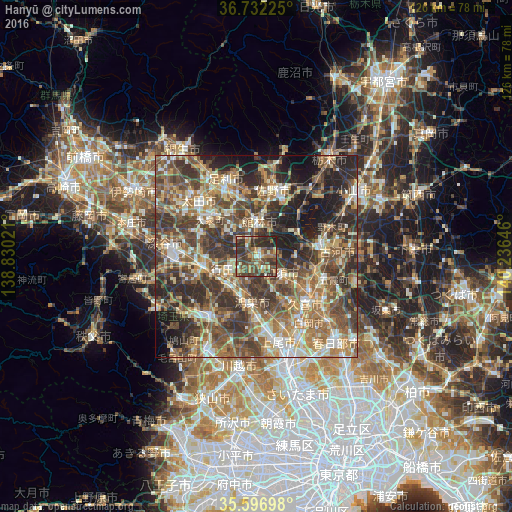
Analysis of Hanyū night lights 2016
Square area 10x10 km:
 1.05%
1.05%90-99
6.12%80-89
6.12%70-79
5.42%60-69
9.62%50-59
12.59%40-49
22.2%30-39
16.43%20-29
19.23%10-19
1.22%0-9
0%Square area 50x50 km:
4.32%90-99
9.07%80-89
6.52%70-79
7.75%60-69
11.1%50-59
11.19%40-49
13.6%30-39
12.94%20-29
12.48%10-19
9.43%0-9
1.61%Clear (daylight) street map image can be seen on geolist.org.
Map coordinates:
36° 43' 56.1" North, 138° 49' 48.8" East
36° 10' 0" North, 139° 31' 60" East
35° 35' 49.1" North, 140° 14' 11.3" East
Some cities around Hanyū sort by population:
• Kumagaya
13.3 km =8.3 mi,  254°
254°
• Kōnosu
11 km =6.8 mi,  187°
187°
• Gyōda
7.2 km =4.5 mi, 246°
• Tatebayashi
9.3 km =5.8 mi,  0°
0°
• Kazo
8.2 km =5.1 mi,  132°
132°
• Fukiage-fujimi
10.5 km =6.5 mi,  225°
225°
• Shōbu
12.6 km =7.8 mi,  151°
151°
• Kisai
8.7 km =5.4 mi, 148°
1863173 (p: 58,686)
Sources (retrieved 2019-11-25):
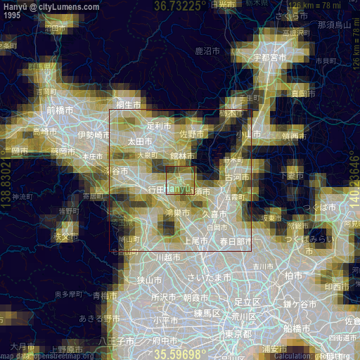
» NASA, Earths city lights 1995
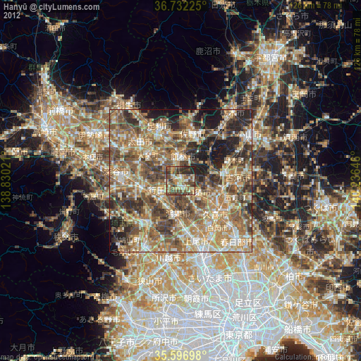
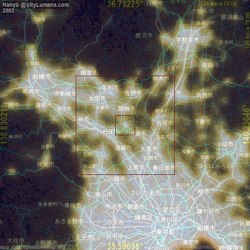
» NASA city lights 2003
» Earth at Night: Flat Maps 2012, 2016