Menuma night lights from space
Night Light of Menuma (Saitama) from space (Japan) Src. Average luminocity for 10x10km area is 56.4545% and for 50x50km: 45.8918%.
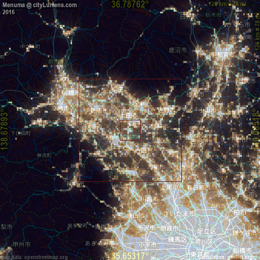
Analysis of Menuma night lights 2016
Square area 10x10 km:
 5.94%
5.94%90-99
12.24%80-89
6.99%70-79
4.02%60-69
8.22%50-59
7.87%40-49
21.85%30-39
27.45%20-29
5.42%10-19
0%0-9
0%Square area 50x50 km:
2.86%90-99
7.64%80-89
5.92%70-79
6.72%60-69
8.78%50-59
10.6%40-49
12.52%30-39
12.38%20-29
11.46%10-19
9.18%0-9
11.95%Clear (daylight) street map image can be seen on geolist.org.
Map coordinates:
36° 47' 15.4" North, 138° 40' 44.1" East
36° 13' 20.8" North, 139° 22' 55.4" East
35° 39' 11.4" North, 140° 5' 6.6" East
Some cities around Menuma sort by population:
• Ashikaga
13.8 km =8.6 mi,  26°
26°
• Kumagaya
9.8 km =6.1 mi,  175°
175°
• Ōta
8.7 km =5.4 mi,  350°
350°
• Fukayachō
9.2 km =5.7 mi,  254°
254°
• Gyōda
11.5 km =7.1 mi,  142°
142°
• Tatebayashi
13.9 km =8.6 mi,  77°
77°
• Hanyū
14.9 km =9.3 mi,  114°
114°
• Sakai-nakajima
12.8 km =8 mi,  292°
292°
1857403 (p: 27,684)
Sources (retrieved 2019-11-25):
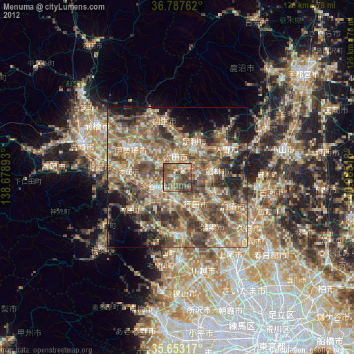
» Earth at Night: Flat Maps 2012, 2016