Gyōda night lights from space
Night Light of Gyōda (Saitama) from space (Japan) Src. Average luminocity for 10x10km area is 57.5128% and for 50x50km: 52.6456%.
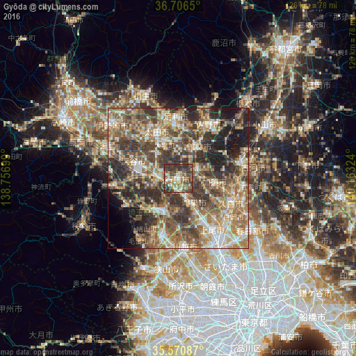
Analysis of Gyōda night lights 2016
Square area 10x10 km:
 3.66%
3.66%90-99
11.17%80-89
10.44%70-79
6.04%60-69
8.06%50-59
13%40-49
18.86%30-39
22.34%20-29
6.41%10-19
0%0-9
0%Square area 50x50 km:
4.93%90-99
9.54%80-89
6.72%70-79
7.93%60-69
11.59%50-59
11.25%40-49
12.21%30-39
12%20-29
10.51%10-19
8.2%0-9
5.12%Clear (daylight) street map image can be seen on geolist.org.
Map coordinates:
36° 42' 23.4" North, 138° 45' 25.2" East
36° 8' 26.7" North, 139° 27' 36.4" East
35° 34' 15.1" North, 140° 9' 47.7" East
Some cities around Gyōda sort by population:
• Kumagaya
6.3 km =3.9 mi,  264°
264°
• Kōnosu
9.5 km =5.9 mi,  147°
147°
• Tatebayashi
13.8 km =8.6 mi,  28°
28°
• Kazo
12.8 km =8 mi,  102°
102°
• Hanyū
7.2 km =4.5 mi,  66°
66°
• Fukiage-fujimi
4.6 km =2.9 mi,  191°
191°
• Menuma
11.5 km =7.1 mi,  322°
322°
• Kisai
12 km =7.5 mi,  112°
112°
1863482 (p: 86,343)
Sources (retrieved 2019-11-25):
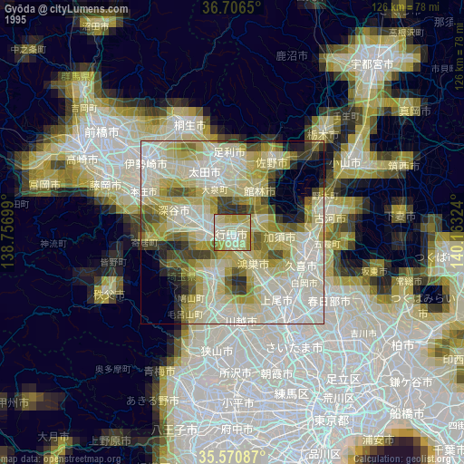
» NASA, Earths city lights 1995
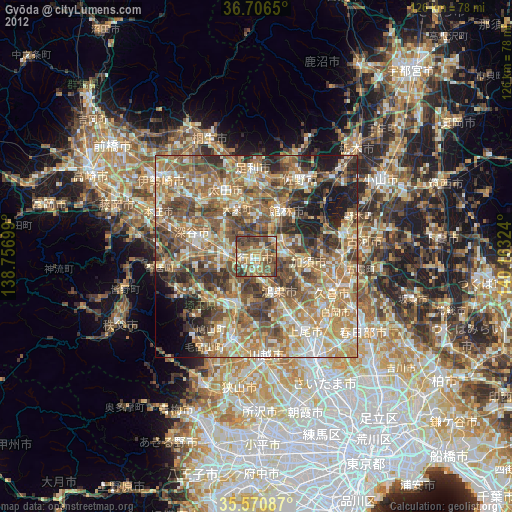
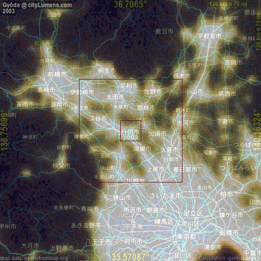
» NASA city lights 2003
» Earth at Night: Flat Maps 2012, 2016