Yuzawa night lights from space
Night Light of Yuzawa (Akita) from space (Japan) Src. Average luminocity for 10x10km area is 6.0357% and for 50x50km: 1.2206%.
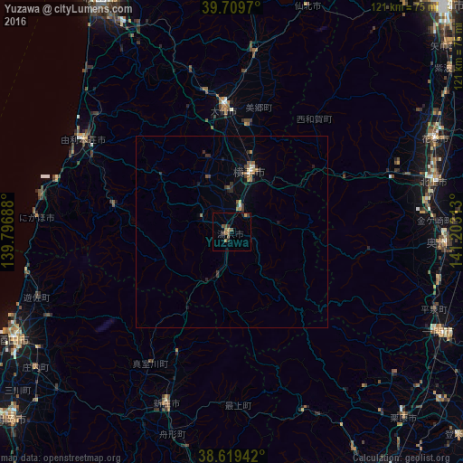
Analysis of Yuzawa night lights 2016
Square area 10x10 km:
 0%
0%90-99
0%80-89
0%70-79
1.14%60-69
2.6%50-59
1.46%40-49
1.3%30-39
1.46%20-29
1.46%10-19
0.97%0-9
89.61%Square area 50x50 km:
0.05%90-99
0.05%80-89
0.08%70-79
0.13%60-69
0.31%50-59
0.27%40-49
0.19%30-39
0.3%20-29
0.32%10-19
0.38%0-9
97.9%Clear (daylight) street map image can be seen on geolist.org.
Map coordinates:
39° 42' 34.9" North, 139° 47' 48.8" East
39° 10' 0" North, 140° 30' 0" East
38° 37' 9.9" North, 141° 12' 11.3" East
Some cities around Yuzawa sort by population:
• Kitakami
54.7 km =34 mi,  76°
76°
• Hanamaki
58.3 km =36.2 mi,  65°
65°
• Mizusawa
54.7 km =34 mi,  93°
93°
• Shinjō
48.5 km =30.1 mi,  200°
200°
• Yokote
17.3 km =10.7 mi,  14°
14°
• Ōmagari
31.5 km =19.6 mi,  357°
357°
• Yuza
52 km =32.3 mi,  251°
251°
• Kakunodatemachi
47.3 km =29.4 mi, 7°
2110460 (p: 33,536)
Sources (retrieved 2019-11-25):
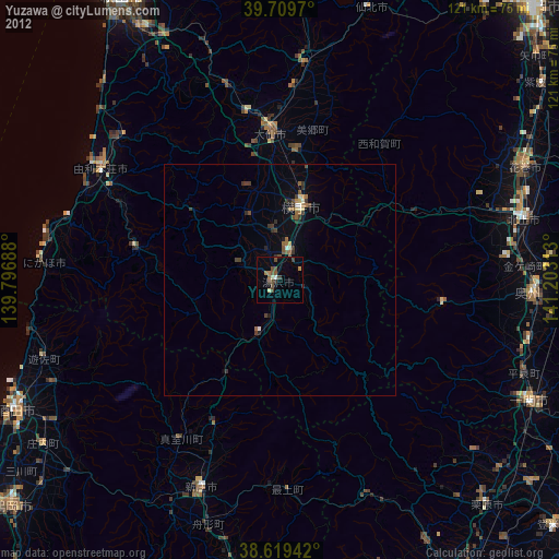
» Earth at Night: Flat Maps 2012, 2016