Yokote night lights from space
Night Light of Yokote (Akita) from space (Japan) Src. Average luminocity for 10x10km area is 14.8044% and for 50x50km: 1.9016%.
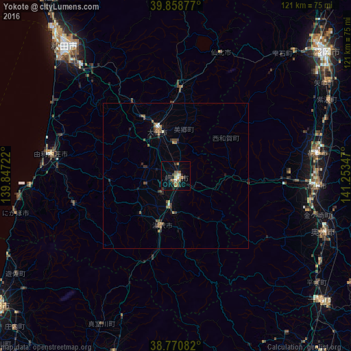
Analysis of Yokote night lights 2016
Square area 10x10 km:
 1.02%
1.02%90-99
1.02%80-89
1.36%70-79
2.04%60-69
4.08%50-59
3.06%40-49
2.38%30-39
1.53%20-29
2.55%10-19
4.42%0-9
76.53%Square area 50x50 km:
0.11%90-99
0.1%80-89
0.09%70-79
0.22%60-69
0.52%50-59
0.41%40-49
0.35%30-39
0.38%20-29
0.41%10-19
0.46%0-9
96.95%Clear (daylight) street map image can be seen on geolist.org.
Map coordinates:
39° 51' 31.6" North, 139° 50' 50" East
39° 19' 0.9" North, 140° 33' 1.2" East
38° 46' 15" North, 141° 15' 12.5" East
Some cities around Yokote sort by population:
• Akita
58 km =36 mi,  320°
320°
• Kitakami
48.9 km =30.4 mi,  94°
94°
• Hanamaki
49.3 km =30.6 mi,  81°
81°
• Mizusawa
54.2 km =33.7 mi,  112°
112°
• Ōmagari
15.9 km =9.9 mi,  338°
338°
• Yuzawa
17.3 km =10.7 mi,  194°
194°
• Shizukuishi
56.1 km =34.9 mi,  41°
41°
• Kakunodatemachi
30.3 km =18.8 mi,  2°
2°
2110506 (p: 39,178)
Sources (retrieved 2019-11-25):
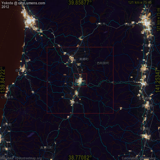
» Earth at Night: Flat Maps 2012, 2016