Sakaiminato night lights from space
Night Light of Sakaiminato (Tottori) from space (Japan) Src. Average luminocity for 10x10km area is 20.3114% and for 50x50km: 5.2503%.
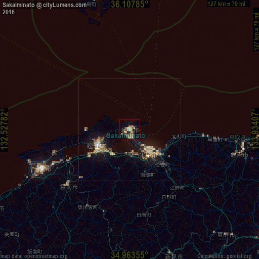
Analysis of Sakaiminato night lights 2016
Square area 10x10 km:
 0%
0%90-99
0.73%80-89
3.66%70-79
3.3%60-69
5.86%50-59
3.48%40-49
4.58%30-39
2.75%20-29
3.85%10-19
9.71%0-9
62.09%Square area 50x50 km:
0.15%90-99
0.31%80-89
1.04%70-79
0.66%60-69
0.79%50-59
0.88%40-49
1%30-39
0.73%20-29
1.27%10-19
4.8%0-9
88.39%Clear (daylight) street map image can be seen on geolist.org.
Map coordinates:
36° 6' 28.3" North, 132° 31' 40.2" East
35° 32' 15.9" North, 133° 13' 51.4" East
34° 57' 48.8" North, 133° 56' 2.7" East
Some cities around Sakaiminato sort by population:
• Matsue
17.5 km =10.9 mi,  249°
249°
• Yonago
14.9 km =9.3 mi,  141°
141°
• Izumo
46.2 km =28.7 mi, 245°
• Kurayoshi
54.3 km =33.7 mi,  102°
102°
• Ōdachō-ōda
76.1 km =47.3 mi,  239°
239°
• Yasugichō
13 km =8.1 mi,  175°
175°
• Hiratachō
39.3 km =24.4 mi, 252°
• Niimi
65.3 km =40.6 mi,  160°
160°
1853174 (p: 36,324)
Sources (retrieved 2019-11-25):
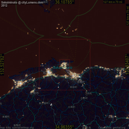
» Earth at Night: Flat Maps 2012, 2016