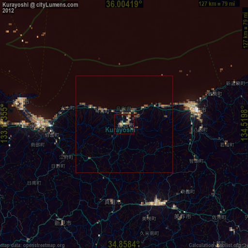
Kurayoshi night lights from space
Night Light of Kurayoshi (Tottori) from space (Japan) Src. Average luminocity for 10x10km area is 9.9469% and for 50x50km: 0.9009%.

Analysis of Kurayoshi night lights 2016
Square area 10x10 km:
 0.18%
0.18%90-99
0.55%80-89
1.1%70-79
1.1%60-69
1.65%50-59
3.11%40-49
1.47%30-39
2.93%20-29
4.76%10-19
0%0-9
83.15%Square area 50x50 km:
0.01%90-99
0.02%80-89
0.06%70-79
0.11%60-69
0.13%50-59
0.18%40-49
0.23%30-39
0.44%20-29
0.48%10-19
0.08%0-9
98.24%Clear (daylight) street map image can be seen on geolist.org.
Map coordinates:
36° 0' 15.1" North, 133° 6' 48.8" East
35° 25' 60" North, 133° 49' 0" East
34° 51' 30.2" North, 134° 31' 11.3" East
Some cities around Kurayoshi sort by population:
• Matsue
69.7 km =43.3 mi,  274°
274°
• Tottori
38.5 km =23.9 mi,  78°
78°
• Yonago
43.8 km =27.2 mi, 270°
• Tsuyama
45.5 km =28.3 mi,  158°
158°
• Sakaiminato
54.3 km =33.7 mi,  282°
282°
• Yasugichō
52.1 km =32.4 mi, 268°
• Takahashi
74.5 km =46.3 mi,  194°
194°
• Niimi
59.3 km =36.8 mi,  212°
212°
1858301 (p: 48,347)
Sources (retrieved 2019-11-25):
» Earth at Night: Flat Maps 2012, 2016