Niimi night lights from space
Night Light of Niimi (Okayama) from space (Japan) Src. Average luminocity for 10x10km area is 1.8608% and for 50x50km: 0.2291%.
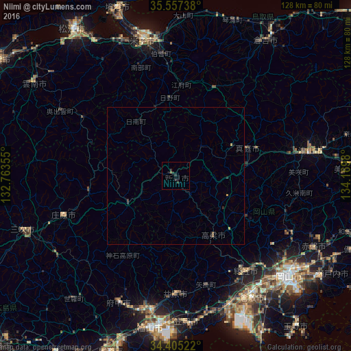
Analysis of Niimi night lights 2016
Square area 10x10 km:
 0%
0%90-99
0%80-89
0%70-79
0%60-69
0.18%50-59
0.55%40-49
0%30-39
2.2%20-29
1.47%10-19
0.92%0-9
94.69%Square area 50x50 km:
0%90-99
0%80-89
0.01%70-79
0.07%60-69
0.01%50-59
0.06%40-49
0.02%30-39
0.14%20-29
0.15%10-19
0.06%0-9
99.48%Clear (daylight) street map image can be seen on geolist.org.
Map coordinates:
35° 33' 26.6" North, 132° 45' 48.8" East
34° 58' 60" North, 133° 28' 0" East
34° 24' 18.8" North, 134° 10' 11.3" East
Some cities around Niimi sort by population:
• Tsuyama
49.1 km =30.5 mi,  81°
81°
• Sōja
43 km =26.7 mi,  142°
142°
• Fuchūchō
50.2 km =31.2 mi,  204°
204°
• Kannabechō-yahiro
47.5 km =29.5 mi,  185°
185°
• Ibara
42.6 km =26.5 mi,  180°
180°
• Takahashi
26.1 km =16.2 mi,  148°
148°
• Shōbara
43.6 km =27.1 mi,  250°
250°
• Kamogatachō-kamogata
50.8 km =31.6 mi,  167°
167°
1855416 (p: 23,787)
Sources (retrieved 2019-11-25):
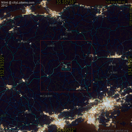
» Earth at Night: Flat Maps 2012, 2016