Matsue night lights from space
Night Light of Matsue (Shimane) from space (Japan) Src. Average luminocity for 10x10km area is 32.2674% and for 50x50km: 4.8003%.
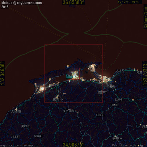
Analysis of Matsue night lights 2016
Square area 10x10 km:
 2.93%
2.93%90-99
3.66%80-89
6.59%70-79
3.11%60-69
6.78%50-59
7.88%40-49
3.48%30-39
3.48%20-29
3.66%10-19
28.02%0-9
30.4%Square area 50x50 km:
0.13%90-99
0.2%80-89
0.74%70-79
0.47%60-69
0.9%50-59
0.92%40-49
1.11%30-39
0.71%20-29
1.25%10-19
3.99%0-9
89.58%Clear (daylight) street map image can be seen on geolist.org.
Map coordinates:
36° 3' 13.8" North, 132° 20' 48.8" East
35° 28' 60" North, 133° 3' 0" East
34° 54' 31.5" North, 133° 45' 11.3" East
Some cities around Matsue sort by population:
• Yonago
26.3 km =16.3 mi,  102°
102°
• Izumo
28.8 km =17.9 mi,  243°
243°
• Kurayoshi
69.7 km =43.3 mi,  94°
94°
• Sakaiminato
17.5 km =10.9 mi,  69°
69°
• Ōdachō-ōda
58.9 km =36.6 mi, 236°
• Yasugichō
18.7 km =11.6 mi,  111°
111°
• Hiratachō
21.9 km =13.6 mi,  255°
255°
• Niimi
67.3 km =41.8 mi,  145°
145°
1857550 (p: 156,811)
Sources (retrieved 2019-11-25):
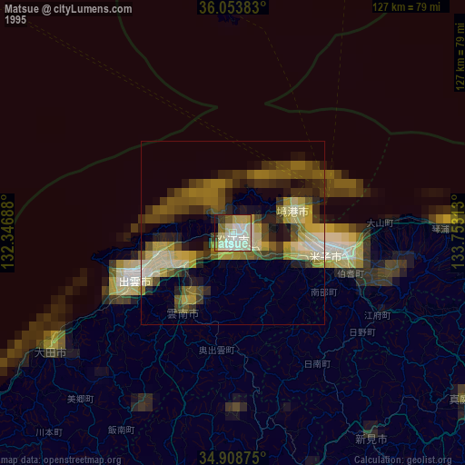
» NASA, Earths city lights 1995
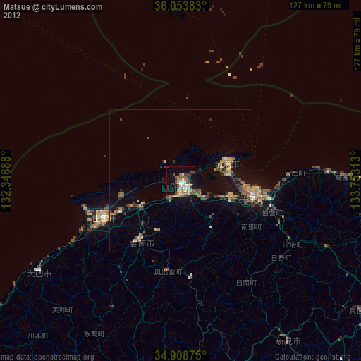
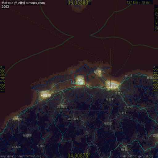
» NASA city lights 2003
» Earth at Night: Flat Maps 2012, 2016