Hiratachō night lights from space
Night Light of Hiratachō (Shimane) from space (Japan) Src. Average luminocity for 10x10km area is 8.37% and for 50x50km: 3.689%.
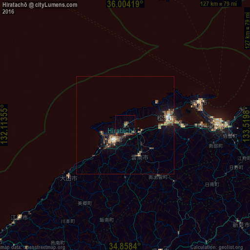
Analysis of Hiratachō night lights 2016
Square area 10x10 km:
 0%
0%90-99
0%80-89
0%70-79
0%60-69
2.2%50-59
3.3%40-49
3.3%30-39
1.65%20-29
2.01%10-19
3.85%0-9
83.7%Square area 50x50 km:
0.21%90-99
0.24%80-89
0.47%70-79
0.35%60-69
0.72%50-59
0.87%40-49
0.72%30-39
0.69%20-29
0.85%10-19
2.8%0-9
92.08%Clear (daylight) street map image can be seen on geolist.org.
Map coordinates:
36° 0' 15.1" North, 132° 6' 48.8" East
35° 25' 60" North, 132° 49' 0" East
34° 51' 30.2" North, 133° 31' 11.3" East
Some cities around Hiratachō sort by population:
• Matsue
21.9 km =13.6 mi,  75°
75°
• Yonago
46.8 km =29.1 mi,  90°
90°
• Izumo
8.7 km =5.4 mi,  211°
211°
• Miyoshi
70.5 km =43.8 mi,  177°
177°
• Sakaiminato
39.3 km =24.4 mi,  72°
72°
• Ōdachō-ōda
38.9 km =24.2 mi,  225°
225°
• Yasugichō
38.6 km =24 mi, 91°
• Shōbara
67.4 km =41.9 mi,  164°
164°
1862471 (p: 28,154)
Sources (retrieved 2019-11-25):
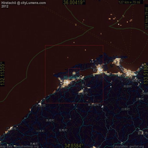
» Earth at Night: Flat Maps 2012, 2016