Ōdachō-ōda night lights from space
Night Light of Ōdachō-ōda (Shimane) from space (Japan) Src. Average luminocity for 10x10km area is 2.5035% and for 50x50km: 1.3918%.
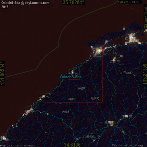
Analysis of Ōdachō-ōda night lights 2016
Square area 10x10 km:
 0%
0%90-99
0%80-89
0%70-79
0%60-69
2.8%50-59
0%40-49
0%30-39
0%20-29
0.7%10-19
1.4%0-9
95.1%Square area 50x50 km:
0.08%90-99
0.08%80-89
0.11%70-79
0.17%60-69
0.31%50-59
0.28%40-49
0.24%30-39
0.41%20-29
0.42%10-19
1.13%0-9
96.76%Clear (daylight) street map image can be seen on geolist.org.
Map coordinates:
35° 45' 46.2" North, 131° 48' 19.2" East
35° 11' 24.9" North, 132° 30' 30.5" East
34° 36' 49" North, 133° 12' 41.7" East
Some cities around Ōdachō-ōda sort by population:
• Matsue
58.9 km =36.6 mi,  56°
56°
• Izumo
30.6 km =19 mi,  50°
50°
• Hamada
51.6 km =32.1 mi,  228°
228°
• Miyoshi
53.4 km =33.2 mi,  144°
144°
• Yasugichō
71.4 km =44.4 mi,  68°
68°
• Hiratachō
38.9 km =24.2 mi, 45°
• Gōtsuchō
32.7 km =20.3 mi, 231°
• Shōbara
59.8 km =37.2 mi,  129°
129°
1854774 (p: 31,867)
Sources (retrieved 2019-11-25):
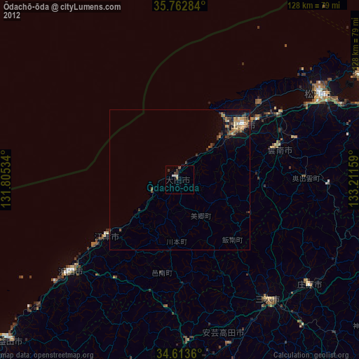
» Earth at Night: Flat Maps 2012, 2016