Ōtsuki night lights from space
Night Light of Ōtsuki (Yamanashi) from space (Japan) Src. Average luminocity for 10x10km area is 11.2115% and for 50x50km: 4.6496%.
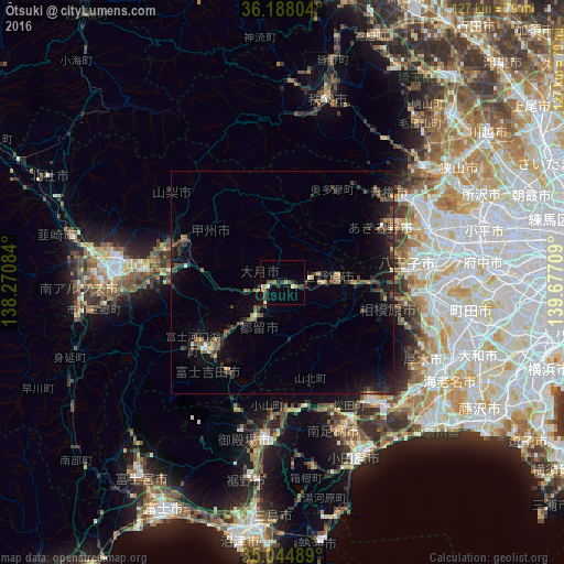
Analysis of Ōtsuki night lights 2016
Square area 10x10 km:
 0%
0%90-99
2.1%80-89
1.05%70-79
1.4%60-69
2.1%50-59
0.52%40-49
3.15%30-39
2.27%20-29
2.8%10-19
1.05%0-9
83.57%Square area 50x50 km:
0.08%90-99
0.29%80-89
0.25%70-79
0.42%60-69
0.55%50-59
0.76%40-49
1.33%30-39
1.14%20-29
1.93%10-19
3.87%0-9
89.38%Clear (daylight) street map image can be seen on geolist.org.
Map coordinates:
36° 11' 16.9" North, 138° 16' 15" East
35° 37' 6.6" North, 138° 58' 26.3" East
35° 2' 41.6" North, 139° 40' 37.5" East
Some cities around Ōtsuki sort by population:
• Hachiōji
31.9 km =19.8 mi,  82°
82°
• Ōme
30.5 km =19 mi,  52°
52°
• Fujiyoshida
25.5 km =15.8 mi,  219°
219°
• Isawa
31 km =19.3 mi,  276°
276°
• Uenohara
12.9 km =8 mi,  90°
90°
• Enzan
23.6 km =14.7 mi,  292°
292°
• Itsukaichi
25 km =15.5 mi,  61°
61°
• Fujikawaguchiko
29.6 km =18.4 mi,  240°
240°
1853564 (p: 31,226)
Sources (retrieved 2019-11-25):
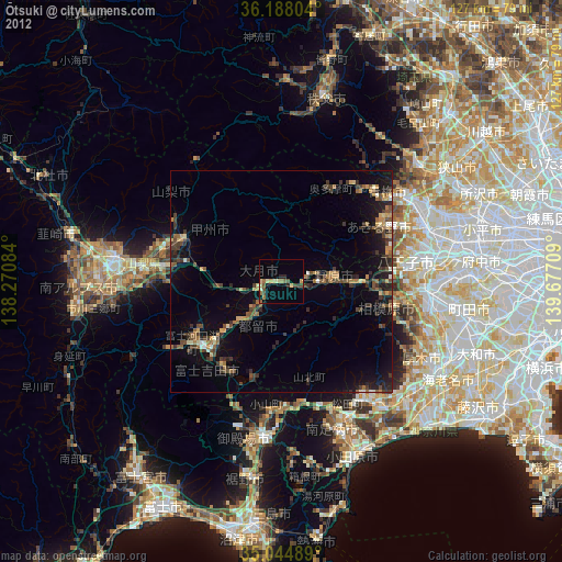
» Earth at Night: Flat Maps 2012, 2016