Fujikawaguchiko night lights from space
Night Light of Fujikawaguchiko (Yamanashi) from space (Japan) Src. Average luminocity for 10x10km area is 1.1758% and for 50x50km: 11.7263%.
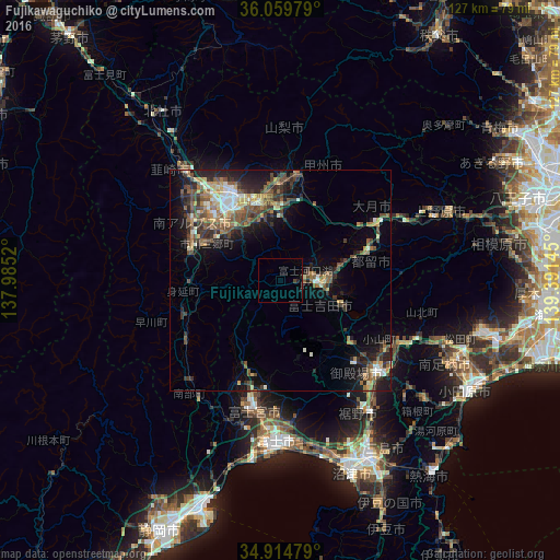
Analysis of Fujikawaguchiko night lights 2016
Square area 10x10 km:
 0%
0%90-99
0%80-89
0%70-79
0%60-69
0%50-59
0%40-49
0.73%30-39
0%20-29
1.47%10-19
0%0-9
97.8%Square area 50x50 km:
0.71%90-99
1.7%80-89
1.33%70-79
1.4%60-69
1.57%50-59
2.47%40-49
2.94%30-39
2.47%20-29
3.34%10-19
6.68%0-9
75.39%Clear (daylight) street map image can be seen on geolist.org.
Map coordinates:
36° 3' 35.2" North, 137° 59' 6.7" East
35° 29' 21.6" North, 138° 41' 18" East
34° 54' 53.2" North, 139° 23' 29.2" East
Some cities around Fujikawaguchiko sort by population:
• Kōfu
22.6 km =14 mi,  330°
330°
• Fujinomiya
31 km =19.3 mi,  192°
192°
• Gotenba
29.9 km =18.6 mi,  129°
129°
• Fujiyoshida
11.2 km =7 mi,  119°
119°
• Ryūō
24.7 km =15.3 mi,  316°
316°
• Ōtsuki
29.6 km =18.4 mi,  60°
60°
• Isawa
18.5 km =11.5 mi,  344°
344°
• Enzan
23.8 km =14.8 mi,  9°
9°
7281819 (p: 23,097)
Sources (retrieved 2019-11-25):
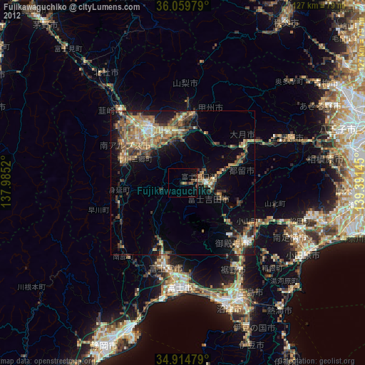
» Earth at Night: Flat Maps 2012, 2016