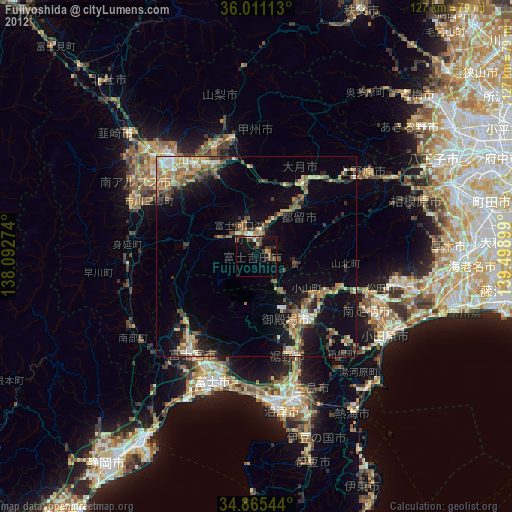
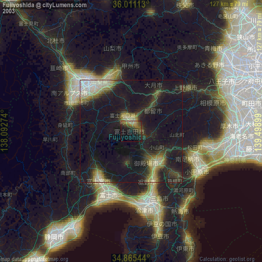
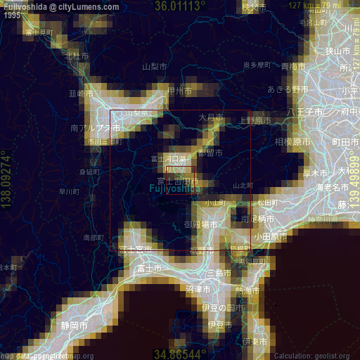
Fujiyoshida night lights from space
Night Light of Fujiyoshida (Yamanashi) from space (Japan) Src. Average luminocity for 10x10km area is 11.4158% and for 50x50km: 10.3564%.
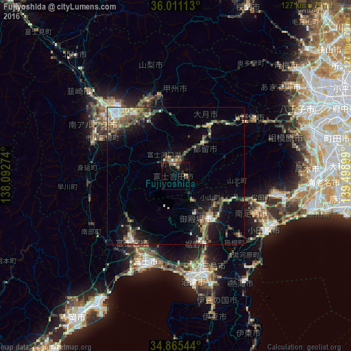
Analysis of Fujiyoshida night lights 2016
Square area 10x10 km:
 0.73%
0.73%90-99
0.73%80-89
1.65%70-79
1.28%60-69
1.1%50-59
2.38%40-49
1.65%30-39
2.93%20-29
2.01%10-19
8.06%0-9
77.47%Square area 50x50 km:
0.74%90-99
1.56%80-89
0.99%70-79
1.07%60-69
1.51%50-59
1.82%40-49
2.44%30-39
1.99%20-29
2.29%10-19
6.78%0-9
78.81%Clear (daylight) street map image can be seen on geolist.org.
Map coordinates:
36° 0' 40.1" North, 138° 5' 33.9" East
35° 26' 25.2" North, 138° 47' 45.1" East
34° 51' 55.6" North, 139° 29' 56.4" East
Some cities around Fujiyoshida sort by population:
• Fuji
32.1 km =19.9 mi,  198°
198°
• Kōfu
32.6 km =20.3 mi,  320°
320°
• Fujinomiya
29.7 km =18.5 mi,  213°
213°
• Gotenba
19 km =11.8 mi,  135°
135°
• Ōtsuki
25.5 km =15.8 mi,  39°
39°
• Isawa
27.6 km =17.1 mi,  327°
327°
• Enzan
29.4 km =18.3 mi,  348°
348°
• Fujikawaguchiko
11.2 km =7 mi,  299°
299°
10629856 (p: 49,055)
Sources (retrieved 2019-11-25):
» NASA, Earths city lights 1995
» NASA city lights 2003
» Earth at Night: Flat Maps 2012, 2016