Hachiōji night lights from space
Night Light of Hachiōji (Tokyo) from space (Japan) Src. Average luminocity for 10x10km area is 86.9983% and for 50x50km: 55.3225%.
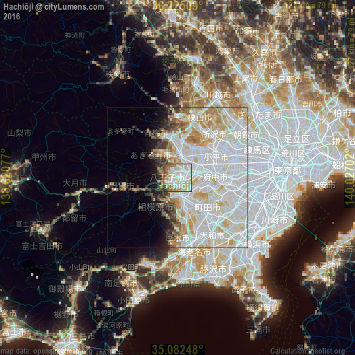
Analysis of Hachiōji night lights 2016
Square area 10x10 km:
 28.32%
90-99
28.5%80-89
20.28%70-79
5.07%60-69
7.34%50-59
6.12%40-49
2.27%30-39
2.1%20-29
0%10-19
0%0-9
0%Square area 50x50 km:
22.28%90-99
17.26%80-89
6.78%70-79
4.83%60-69
3.96%50-59
2.21%40-49
2.12%30-39
2.11%20-29
2.43%10-19
3.54%0-9
32.48%Clear (daylight) street map image can be seen on geolist.org.
Map coordinates:
36° 13' 30.3" North, 138° 37' 14.8" East
35° 39' 21" North, 139° 19' 26" East
35° 4' 56.9" North, 140° 1' 37.3" East
Some cities around Hachiōji sort by population:
• Machida
17.2 km =10.7 mi,  138°
138°
• Hino
7.2 km =4.5 mi,  74°
74°
• Higashimurayama
17.1 km =10.6 mi,  49°
49°
• Ōme
16 km =9.9 mi,  332°
332°
• Kokubunji
14.6 km =9.1 mi, 69°
• Fussa
9 km =5.6 mi,  359°
359°
• Uenohara
19.2 km =11.9 mi,  256°
256°
• Itsukaichi
12.3 km =7.6 mi,  308°
308°
1863440 (p: 579,399)
Sources (retrieved 2019-11-25):
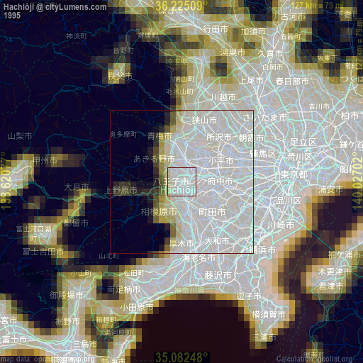
» NASA, Earths city lights 1995
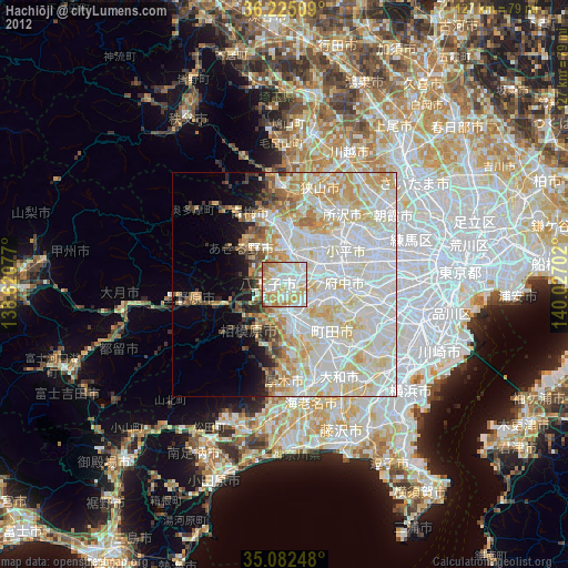
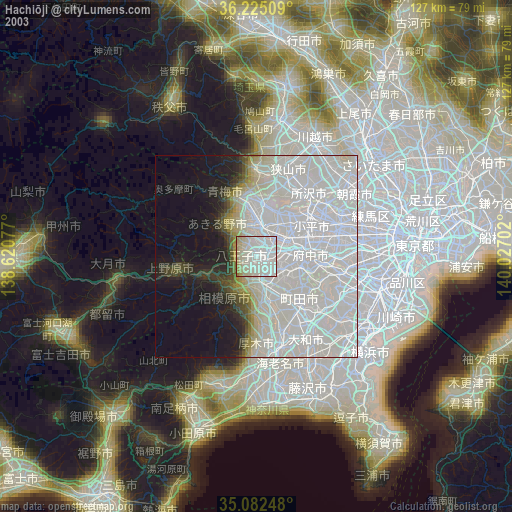
» NASA city lights 2003
» Earth at Night: Flat Maps 2012, 2016