Ōme night lights from space
Night Light of Ōme (Tokyo) from space (Japan) Src. Average luminocity for 10x10km area is 33.8794% and for 50x50km: 39.1263%.
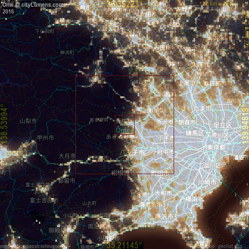
Analysis of Ōme night lights 2016
Square area 10x10 km:
 2.45%
2.45%90-99
4.37%80-89
2.8%70-79
3.85%60-69
6.12%50-59
7.17%40-49
8.57%30-39
12.76%20-29
8.92%10-19
19.06%0-9
23.95%Square area 50x50 km:
10.29%90-99
10.83%80-89
5.27%70-79
4.82%60-69
5.47%50-59
3.96%40-49
3.52%30-39
3.14%20-29
2.99%10-19
4.28%0-9
45.43%Clear (daylight) street map image can be seen on geolist.org.
Map coordinates:
36° 21' 8" North, 138° 32' 23.8" East
35° 47' 2" North, 139° 14' 35" East
35° 12' 41.2" North, 139° 56' 46.3" East
Some cities around Ōme sort by population:
• Hachiōji
16 km =9.9 mi,  152°
152°
• Tokorozawa
20.5 km =12.7 mi,  85°
85°
• Hino
18.8 km =11.7 mi,  130°
130°
• Sayama
17.1 km =10.6 mi,  63°
63°
• Hannō
10.1 km =6.3 mi,  41°
41°
• Fussa
9 km =5.6 mi, 125°
• Morohongō
17.7 km =11 mi,  18°
18°
• Itsukaichi
6.9 km =4.3 mi,  199°
199°
1854162 (p: 149,323)
Sources (retrieved 2019-11-25):
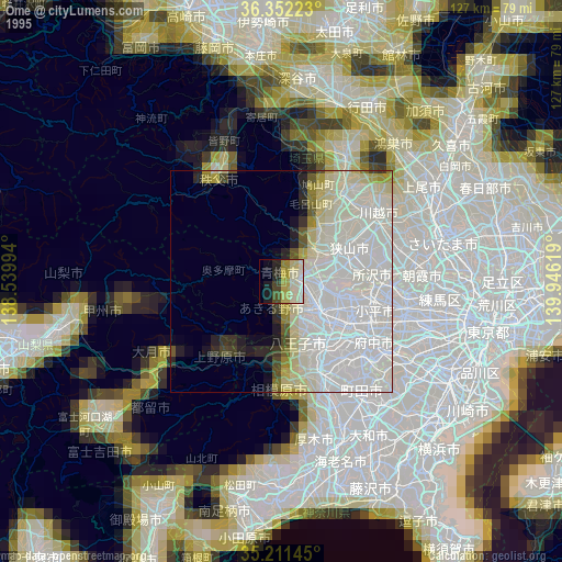
» NASA, Earths city lights 1995
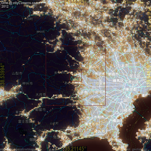
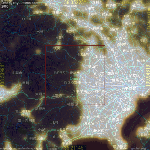
» NASA city lights 2003
» Earth at Night: Flat Maps 2012, 2016