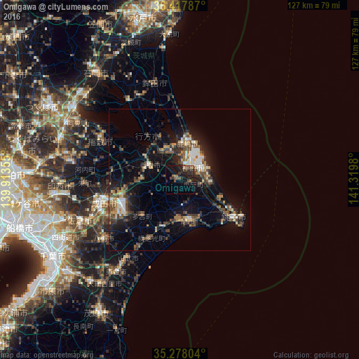
Omigawa night lights from space
Night Light of Omigawa (Chiba) from space (Japan) Src. Average luminocity for 10x10km area is 15.6643% and for 50x50km: 13.3762%.

Analysis of Omigawa night lights 2016
Square area 10x10 km:
 0.17%
0.17%90-99
0.52%80-89
0.7%70-79
0.17%60-69
3.85%50-59
2.97%40-49
5.07%30-39
3.15%20-29
10.14%10-19
17.31%0-9
55.94%Square area 50x50 km:
1.22%90-99
1.82%80-89
0.91%70-79
1.31%60-69
1.82%50-59
2.24%40-49
2.82%30-39
2.74%20-29
4.7%10-19
9.66%0-9
70.76%Clear (daylight) street map image can be seen on geolist.org.
Map coordinates:
36° 25' 4.3" North, 139° 54' 48.8" East
35° 51' 0" North, 140° 37' 0" East
35° 16' 40.9" North, 141° 19' 11.3" East
Some cities around Omigawa sort by population:
• Narita
28 km =17.4 mi,  254°
254°
• Katori-shi
11.8 km =7.3 mi,  296°
296°
• Kashima-shi
13.1 km =8.1 mi,  11°
11°
• Sawara
11.1 km =6.9 mi,  289°
289°
• Asahi
15.1 km =9.4 mi,  168°
168°
• Hasaki
23.5 km =14.6 mi,  123°
123°
• Yōkaichiba
17.7 km =11 mi,  199°
199°
• Itako
11 km =6.8 mi,  327°
327°
2111429 (p: 25,763)
Sources (retrieved 2019-11-25):
» Earth at Night: Flat Maps 2012, 2016