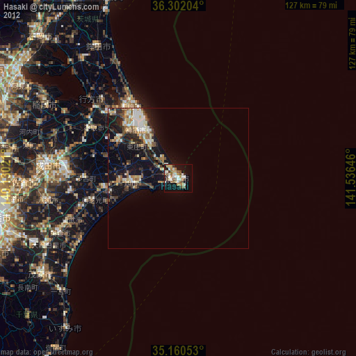
Hasaki night lights from space
Night Light of Hasaki (Chiba) from space (Japan) Src. Average luminocity for 10x10km area is 26.9545% and for 50x50km: 6.9339%.
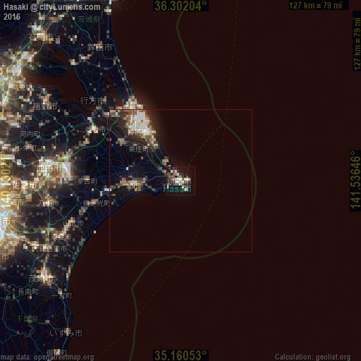
Analysis of Hasaki night lights 2016
Square area 10x10 km:
 1.75%
1.75%90-99
6.99%80-89
1.22%70-79
1.57%60-69
4.02%50-59
3.85%40-49
6.64%30-39
4.02%20-29
8.74%10-19
25%0-9
36.19%Square area 50x50 km:
0.75%90-99
1.14%80-89
0.41%70-79
0.64%60-69
0.98%50-59
1.08%40-49
1.53%30-39
1.4%20-29
2.2%10-19
4.44%0-9
85.43%Clear (daylight) street map image can be seen on geolist.org.
Map coordinates:
36° 18' 7.3" North, 140° 7' 48.8" East
35° 43' 60" North, 140° 49' 60" East
35° 9' 37.9" North, 141° 32' 11.3" East
Some cities around Hasaki sort by population:
• Katori-shi
35.2 km =21.9 mi,  301°
301°
• Kashima-shi
30.9 km =19.2 mi,  326°
326°
• Sawara
34.4 km =21.4 mi, 299°
• Asahi
16.7 km =10.4 mi,  263°
263°
• Yōkaichiba
25.8 km =16 mi, 261°
• Itako
33.9 km =21.1 mi,  311°
311°
• Omigawa
23.5 km =14.6 mi, 303°
• Narutō
40.5 km =25.2 mi,  248°
248°
2112802 (p: 39,209)
Sources (retrieved 2019-11-25):
» Earth at Night: Flat Maps 2012, 2016