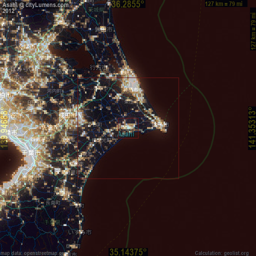
Asahi night lights from space
Night Light of Asahi (Chiba) from space (Japan) Src. Average luminocity for 10x10km area is 22.0769% and for 50x50km: 11.0785%.
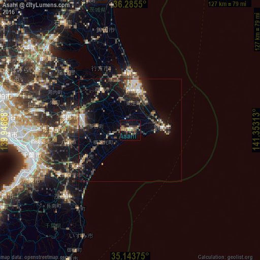
Analysis of Asahi night lights 2016
Square area 10x10 km:
 0.87%
0.87%90-99
0.52%80-89
1.4%70-79
3.15%60-69
5.24%50-59
4.02%40-49
8.92%30-39
5.94%20-29
2.62%10-19
15.56%0-9
51.75%Square area 50x50 km:
1.11%90-99
1.62%80-89
0.72%70-79
1.05%60-69
1.42%50-59
1.66%40-49
2.27%30-39
2.24%20-29
3.68%10-19
7.97%0-9
76.26%Clear (daylight) street map image can be seen on geolist.org.
Map coordinates:
36° 17' 7.8" North, 139° 56' 48.8" East
35° 43' 0" North, 140° 39' 0" East
35° 8' 37.5" North, 141° 21' 11.3" East
Some cities around Asahi sort by population:
• Katori-shi
24.3 km =15.1 mi,  325°
325°
• Kashima-shi
27.7 km =17.2 mi,  359°
359°
• Sawara
22.9 km =14.2 mi,  323°
323°
• Hasaki
16.7 km =10.4 mi,  83°
83°
• Yōkaichiba
9.2 km =5.7 mi,  258°
258°
• Itako
25.7 km =16 mi,  339°
339°
• Omigawa
15.1 km =9.4 mi,  348°
348°
• Narutō
24.8 km =15.4 mi,  238°
238°
2113077 (p: 41,720)
Sources (retrieved 2019-11-25):
» Earth at Night: Flat Maps 2012, 2016