Namie night lights from space
Night Light of Namie (Fukushima) from space (Japan) Src. Average luminocity for 10x10km area is 1.3279% and for 50x50km: 1.6986%.
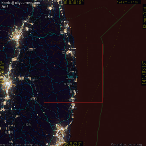
Analysis of Namie night lights 2016
Square area 10x10 km:
 0%
0%90-99
0%80-89
0%70-79
0.32%60-69
0.65%50-59
0%40-49
0.65%30-39
0%20-29
0%10-19
0.32%0-9
98.05%Square area 50x50 km:
0.05%90-99
0.22%80-89
0.18%70-79
0.25%60-69
0.32%50-59
0.27%40-49
0.18%30-39
0.31%20-29
0.27%10-19
0.7%0-9
97.23%Clear (daylight) street map image can be seen on geolist.org.
Map coordinates:
38° 2' 21.1" North, 140° 17' 48.8" East
37° 28' 60" North, 141° 0' 0" East
36° 55' 23.9" North, 141° 42' 11.3" East
Some cities around Namie sort by population:
• Iwaki
49.3 km =30.6 mi,  192°
192°
• Nihommatsu
51.2 km =31.8 mi,  282°
282°
• Hobaramachi
54.3 km =33.7 mi,  313°
313°
• Funehikimachi-funehiki
37.5 km =23.3 mi,  263°
263°
• Motomiya
53 km =32.9 mi,  273°
273°
• Yanagawamachi-saiwaichō
53.9 km =33.5 mi,  319°
319°
• Miharu
45.9 km =28.5 mi, 263°
• Marumori
52.4 km =32.6 mi,  336°
336°
2111704 (p: 21,866)
Sources (retrieved 2019-11-25):
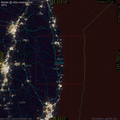
» Earth at Night: Flat Maps 2012, 2016