Nihommatsu night lights from space
Night Light of Nihommatsu (Fukushima) from space (Japan) Src. Average luminocity for 10x10km area is 14.1667% and for 50x50km: 8.9812%.
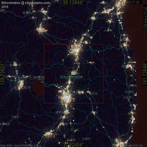
Analysis of Nihommatsu night lights 2016
Square area 10x10 km:
 0.34%
0.34%90-99
0.34%80-89
2.04%70-79
1.36%60-69
1.87%50-59
3.4%40-49
4.25%30-39
3.23%20-29
3.23%10-19
3.4%0-9
76.53%Square area 50x50 km:
0.84%90-99
1.53%80-89
1.02%70-79
1.11%60-69
1.41%50-59
1.3%40-49
1.48%30-39
1.51%20-29
2.65%10-19
5.59%0-9
81.56%Clear (daylight) street map image can be seen on geolist.org.
Map coordinates:
38° 8' 18.4" North, 139° 43' 48.8" East
37° 34' 60" North, 140° 25' 60" East
37° 1' 26.5" North, 141° 8' 11.3" East
Some cities around Nihommatsu sort by population:
• Kōriyama
20.9 km =13 mi,  192°
192°
• Fukushima
18.8 km =11.7 mi,  8°
8°
• Hobaramachi
27.9 km =17.3 mi,  21°
21°
• Funehikimachi-funehiki
19.7 km =12.2 mi,  140°
140°
• Motomiya
8.2 km =5.1 mi,  200°
200°
• Yanagawamachi-saiwaichō
33.1 km =20.6 mi,  26°
26°
• Miharu
17.3 km =10.7 mi,  165°
165°
• Inawashiro
28 km =17.4 mi,  266°
266°
2111656 (p: 36,287)
Sources (retrieved 2019-11-25):
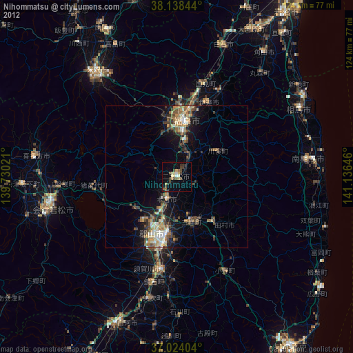
» Earth at Night: Flat Maps 2012, 2016