Iwaki night lights from space
Night Light of Iwaki (Fukushima) from space (Japan) Src. Average luminocity for 10x10km area is 43.8027% and for 50x50km: 6.5818%.
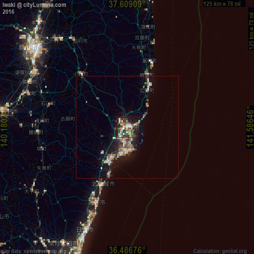
Analysis of Iwaki night lights 2016
Square area 10x10 km:
 3.91%
3.91%90-99
9.01%80-89
2.55%70-79
4.59%60-69
10.2%50-59
6.97%40-49
8.33%30-39
12.41%20-29
14.97%10-19
23.98%0-9
3.06%Square area 50x50 km:
0.53%90-99
1.05%80-89
0.51%70-79
0.77%60-69
1.11%50-59
1.01%40-49
1.02%30-39
1.3%20-29
1.81%10-19
5.68%0-9
85.2%Clear (daylight) street map image can be seen on geolist.org.
Map coordinates:
37° 36' 32.7" North, 140° 10' 48.8" East
37° 3' 0" North, 140° 52' 60" East
36° 29' 12.3" North, 141° 35' 11.3" East
Some cities around Iwaki sort by population:
• Hitachi
54.2 km =33.7 mi,  202°
202°
• Sukagawa
51.3 km =31.9 mi,  300°
300°
• Kitaibaraki
31.6 km =19.6 mi, 202°
• Takahagi
39.9 km =24.8 mi, 201°
• Funehikimachi-funehiki
51.8 km =32.2 mi,  328°
328°
• Namie
49.3 km =30.6 mi,  12°
12°
• Miharu
55.4 km =34.4 mi,  320°
320°
• Ishikawa
40 km =24.9 mi,  286°
286°
2112539 (p: 357,309)
Sources (retrieved 2019-11-25):
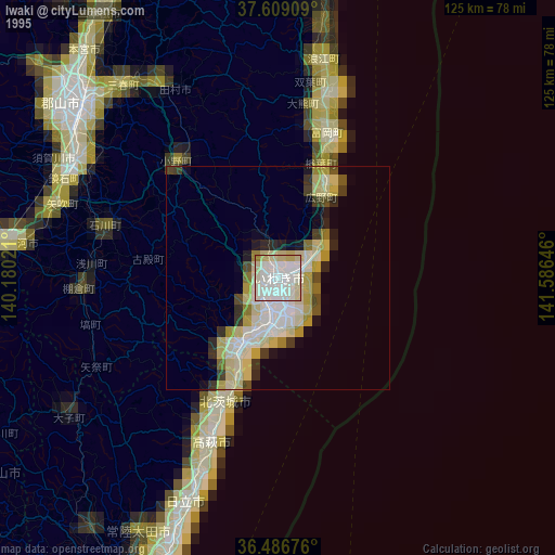
» NASA, Earths city lights 1995
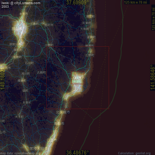
» NASA city lights 2003
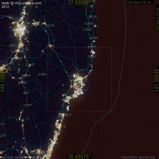
» Earth at Night: Flat Maps 2012, 2016