Yanagawamachi-saiwaichō night lights from space
Night Light of Yanagawamachi-saiwaichō (Fukushima) from space (Japan) Src. Average luminocity for 10x10km area is 9.6299% and for 50x50km: 7.3113%.
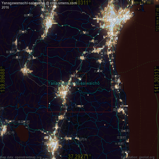
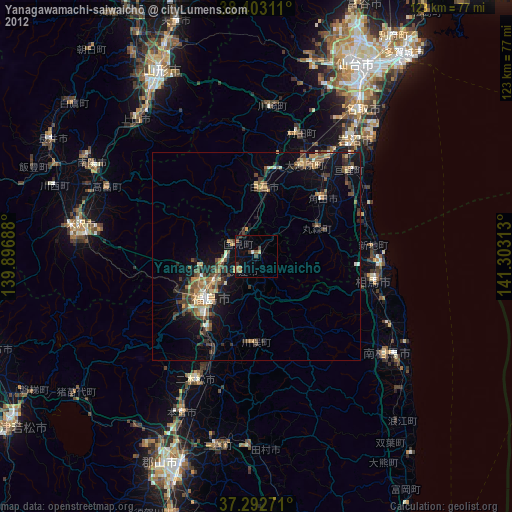
Analysis of Yanagawamachi-saiwaichō night lights 2016
Square area 10x10 km:
 0.16%
0.16%90-99
2.6%80-89
0.81%70-79
0.65%60-69
1.3%50-59
1.3%40-49
1.46%30-39
2.11%20-29
1.14%10-19
3.08%0-9
85.39%Square area 50x50 km:
0.44%90-99
0.89%80-89
0.94%70-79
0.95%60-69
1.27%50-59
1.01%40-49
1.29%30-39
1.23%20-29
1.99%10-19
6.16%0-9
83.82%Clear (daylight) street map image can be seen on geolist.org.
Map coordinates:
38° 24' 11.2" North, 139° 53' 48.8" East
37° 51' 0" North, 140° 36' 0" East
37° 17' 33.8" North, 141° 18' 11.3" East
Some cities around Yanagawamachi-saiwaichō sort by population:
• Fukushima
16.2 km =10.1 mi,  226°
226°
• Shiroishi
17.1 km =10.6 mi,  5°
5°
• Watari
30.1 km =18.7 mi,  46°
46°
• Nihommatsu
33.1 km =20.6 mi,  206°
206°
• Kakuda
20.5 km =12.7 mi, 47°
• Hobaramachi
5.7 km =3.5 mi, 229°
• Ōkawara
25.1 km =15.6 mi,  27°
27°
• Marumori
16.4 km =10.2 mi,  63°
63°
2110538 (p: 20,807)
Sources (retrieved 2019-11-25):
» Earth at Night: Flat Maps 2012, 2016