Hobaramachi night lights from space
Night Light of Hobaramachi (Fukushima) from space (Japan) Src. Average luminocity for 10x10km area is 21.5085% and for 50x50km: 5.9635%.
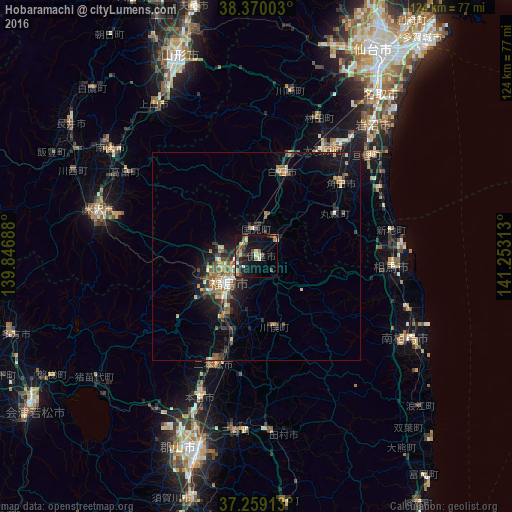
Analysis of Hobaramachi night lights 2016
Square area 10x10 km:
 1.02%
1.02%90-99
2.89%80-89
2.21%70-79
3.91%60-69
1.87%50-59
1.87%40-49
6.63%30-39
4.08%20-29
6.12%10-19
20.75%0-9
48.64%Square area 50x50 km:
0.37%90-99
0.65%80-89
0.72%70-79
0.74%60-69
1.01%50-59
0.79%40-49
1.21%30-39
1.07%20-29
1.75%10-19
4.7%0-9
86.98%Clear (daylight) street map image can be seen on geolist.org.
Map coordinates:
38° 22' 12.1" North, 139° 50' 48.8" East
37° 49' 0" North, 140° 33' 0" East
37° 15' 32.9" North, 141° 15' 11.3" East
Some cities around Hobaramachi sort by population:
• Fukushima
10.4 km =6.5 mi,  224°
224°
• Shiroishi
21.6 km =13.4 mi,  16°
16°
• Watari
35.9 km =22.3 mi,  47°
47°
• Nihommatsu
27.9 km =17.3 mi,  201°
201°
• Kakuda
26.2 km =16.3 mi, 47°
• Ōkawara
30.5 km =19 mi,  31°
31°
• Yanagawamachi-saiwaichō
5.7 km =3.5 mi, 49°
• Marumori
22 km =13.7 mi,  59°
59°
2112692 (p: 24,515)
Sources (retrieved 2019-11-25):
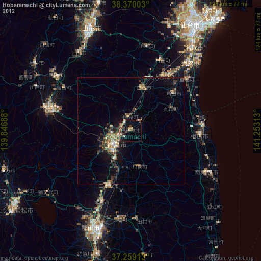
» Earth at Night: Flat Maps 2012, 2016