Nakanojōmachi night lights from space
Night Light of Nakanojōmachi (Gunma) from space (Japan) Src. Average luminocity for 10x10km area is 5.6282% and for 50x50km: 7.1338%.
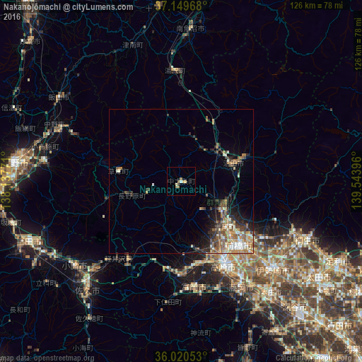
Analysis of Nakanojōmachi night lights 2016
Square area 10x10 km:
 0.18%
0.18%90-99
0.55%80-89
1.47%70-79
0.73%60-69
2.2%50-59
0.73%40-49
0%30-39
0.73%20-29
0%10-19
0%0-9
93.41%Square area 50x50 km:
0.51%90-99
1.28%80-89
0.86%70-79
0.89%60-69
1.51%50-59
1.44%40-49
0.91%30-39
1.52%20-29
1.62%10-19
2.55%0-9
86.92%Clear (daylight) street map image can be seen on geolist.org.
Map coordinates:
37° 8' 58.8" North, 138° 8' 15.8" East
36° 35' 13.8" North, 138° 50' 27" East
36° 1' 13.9" North, 139° 32' 38.3" East
Some cities around Nakanojōmachi sort by population:
• Maebashi
30 km =18.6 mi,  133°
133°
• Takasaki
32.3 km =20.1 mi,  150°
150°
• Tomioka
37.4 km =23.2 mi,  172°
172°
• Shibukawa
18.3 km =11.4 mi, 129°
• Annaka
29 km =18 mi, 170°
• Numata
19.4 km =12.1 mi,  74°
74°
• Kanekomachi
24 km =14.9 mi,  144°
144°
• Yoshii
39.6 km =24.6 mi,  161°
161°
1855852 (p: 17,741)
Sources (retrieved 2019-11-25):
» Earth at Night: Flat Maps 2012, 2016