Shibukawa night lights from space
Night Light of Shibukawa (Gunma) from space (Japan) Src. Average luminocity for 10x10km area is 33.5733% and for 50x50km: 19.6712%.
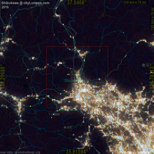
Analysis of Shibukawa night lights 2016
Square area 10x10 km:
 0.92%
0.92%90-99
6.41%80-89
2.93%70-79
3.66%60-69
5.49%50-59
6.78%40-49
6.41%30-39
11.72%20-29
8.61%10-19
28.94%0-9
18.13%Square area 50x50 km:
1.27%90-99
3.55%80-89
2.59%70-79
2.81%60-69
4.4%50-59
5%40-49
3.49%30-39
2.87%20-29
3.68%10-19
7.06%0-9
63.29%Clear (daylight) street map image can be seen on geolist.org.
Map coordinates:
37° 2' 47.8" North, 138° 17' 48.8" East
36° 28' 60" North, 139° 0' 0" East
35° 54' 57.4" North, 139° 42' 11.3" East
Some cities around Shibukawa sort by population:
• Maebashi
11.9 km =7.4 mi,  141°
141°
• Takasaki
16.7 km =10.4 mi,  174°
174°
• Annaka
19.4 km =12.1 mi,  208°
208°
• Numata
17.3 km =10.7 mi,  14°
14°
• Tamamura
22.9 km =14.2 mi,  152°
152°
• Kanekomachi
8.1 km =5 mi,  182°
182°
• Ōmamachō-ōmama
25.3 km =15.7 mi,  103°
103°
• Nakanojōmachi
18.3 km =11.4 mi,  309°
309°
1852595 (p: 48,322)
Sources (retrieved 2019-11-25):
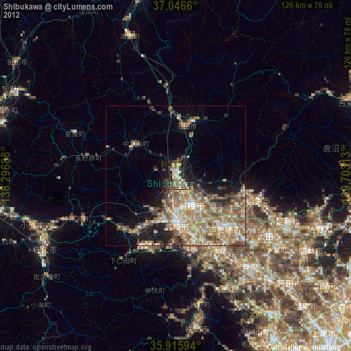
» Earth at Night: Flat Maps 2012, 2016