Kanekomachi night lights from space
Night Light of Kanekomachi (Gunma) from space (Japan) Src. Average luminocity for 10x10km area is 55.0524% and for 50x50km: 22.819%.
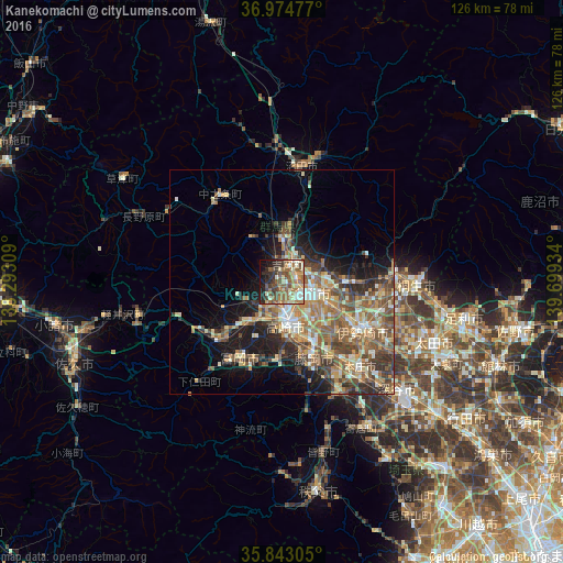
Analysis of Kanekomachi night lights 2016
Square area 10x10 km:
 2.1%
2.1%90-99
12.76%80-89
8.74%70-79
5.59%60-69
14.34%50-59
15.21%40-49
11.19%30-39
9.09%20-29
9.62%10-19
9.62%0-9
1.75%Square area 50x50 km:
1.47%90-99
3.98%80-89
3.05%70-79
3.29%60-69
4.84%50-59
5.49%40-49
4.44%30-39
3.92%20-29
4.68%10-19
8.2%0-9
56.63%Clear (daylight) street map image can be seen on geolist.org.
Map coordinates:
36° 58' 29.2" North, 138° 17' 35.1" East
36° 24' 39.5" North, 138° 59' 46.4" East
35° 50' 35" North, 139° 41' 57.6" East
Some cities around Kanekomachi sort by population:
• Maebashi
7.9 km =4.9 mi,  98°
98°
• Takasaki
8.8 km =5.5 mi,  168°
168°
• Fujioka
19.5 km =12.1 mi,  159°
159°
• Tomioka
19.5 km =12.1 mi,  206°
206°
• Shibukawa
8.1 km =5 mi,  2°
2°
• Annaka
12.7 km =7.9 mi,  224°
224°
• Tamamura
16.4 km =10.2 mi,  138°
138°
• Yoshii
17.9 km =11.1 mi,  183°
183°
1860211 (p: 37,107)
Sources (retrieved 2019-11-25):
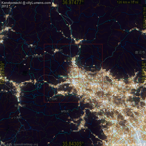
» Earth at Night: Flat Maps 2012, 2016