Numata night lights from space
Night Light of Numata (Gunma) from space (Japan) Src. Average luminocity for 10x10km area is 17.4872% and for 50x50km: 5.6727%.
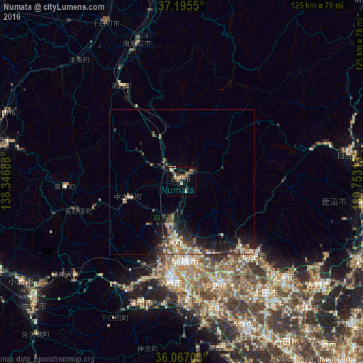
Analysis of Numata night lights 2016
Square area 10x10 km:
 0%
0%90-99
3.48%80-89
0.92%70-79
1.65%60-69
5.13%50-59
3.3%40-49
3.48%30-39
2.93%20-29
3.66%10-19
4.03%0-9
71.43%Square area 50x50 km:
0.18%90-99
0.77%80-89
0.57%70-79
0.67%60-69
0.9%50-59
1.23%40-49
0.89%30-39
1.57%20-29
1.8%10-19
3.91%0-9
87.52%Clear (daylight) street map image can be seen on geolist.org.
Map coordinates:
37° 11' 43.8" North, 138° 20' 48.8" East
36° 37' 60" North, 139° 3' 0" East
36° 4' 1.3" North, 139° 45' 11.3" East
Some cities around Numata sort by population:
• Maebashi
26.1 km =16.2 mi,  173°
173°
• Takasaki
33.5 km =20.8 mi,  185°
185°
• Kiryū
36.3 km =22.6 mi,  135°
135°
• Shibukawa
17.3 km =10.7 mi, 194°
• Annaka
36.4 km =22.6 mi,  202°
202°
• Kanekomachi
25.2 km =15.7 mi, 191°
• Ōmamachō-ōmama
30.1 km =18.7 mi, 138°
• Nakanojōmachi
19.4 km =12.1 mi,  254°
254°
1854905 (p: 45,526)
Sources (retrieved 2019-11-25):
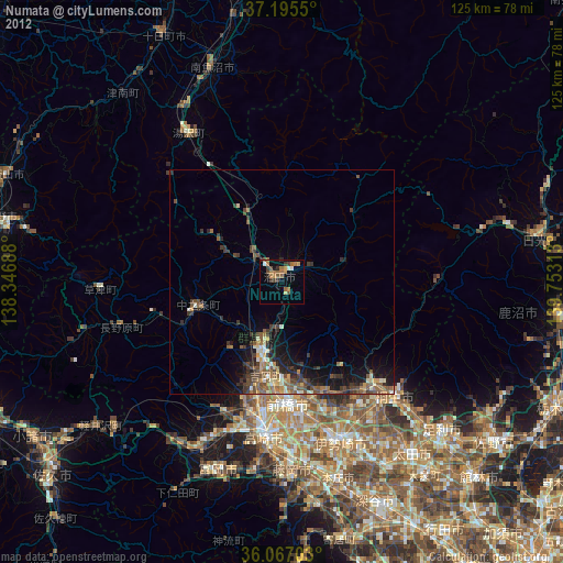
» Earth at Night: Flat Maps 2012, 2016