Naka night lights from space
Night Light of Naka (Ibaraki) from space (Japan) Src. Average luminocity for 10x10km area is 67.9029% and for 50x50km: 29.9139%.
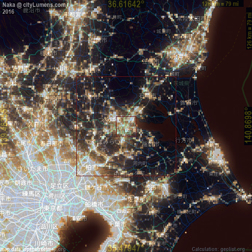
Analysis of Naka night lights 2016
Square area 10x10 km:
 9.52%
9.52%90-99
12.09%80-89
9.52%70-79
13.37%60-69
12.09%50-59
23.44%40-49
15.38%30-39
1.65%20-29
2.93%10-19
0%0-9
0%Square area 50x50 km:
2.69%90-99
4.64%80-89
2.73%70-79
3.45%60-69
4.47%50-59
5.27%40-49
6.59%30-39
8.12%20-29
11.69%10-19
18.65%0-9
31.71%Clear (daylight) street map image can be seen on geolist.org.
Map coordinates:
36° 36' 59.1" North, 139° 27' 48.8" East
36° 3' 0" North, 140° 10' 0" East
35° 28' 46.1" North, 140° 52' 11.3" East
Some cities around Naka sort by population:
• Ryūgasaki
16.7 km =10.4 mi,  174°
174°
• Ushiku
9.7 km =6 mi,  197°
197°
• Ishioka
17.3 km =10.7 mi,  31°
31°
• Ami
3.5 km =2.2 mi,  121°
121°
• Inashiki
17.5 km =10.9 mi,  126°
126°
• Mitsukaidō
16.9 km =10.5 mi,  257°
257°
• Fujishiro
15.5 km =9.6 mi, 196°
• Edosaki
17.5 km =10.9 mi, 129°
2111749 (p: 46,760)
Sources (retrieved 2019-11-25):
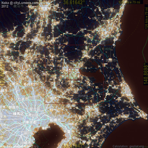
» Earth at Night: Flat Maps 2012, 2016