Ushiku night lights from space
Night Light of Ushiku (Ibaraki) from space (Japan) Src. Average luminocity for 10x10km area is 44.9963% and for 50x50km: 41.6983%.
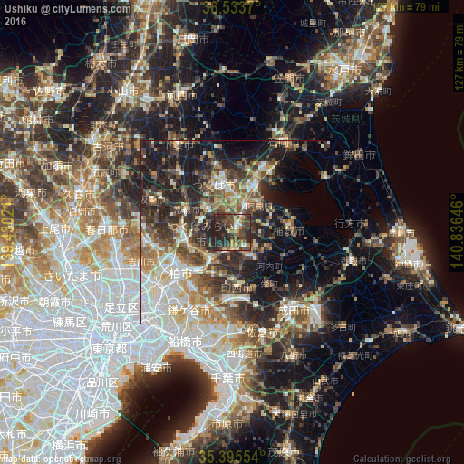
Analysis of Ushiku night lights 2016
Square area 10x10 km:
 2.75%
2.75%90-99
4.95%80-89
2.56%70-79
9.52%60-69
4.58%50-59
5.68%40-49
21.43%30-39
12.82%20-29
30.22%10-19
5.49%0-9
0%Square area 50x50 km:
6.02%90-99
8.58%80-89
4.32%70-79
5.21%60-69
6%50-59
6.65%40-49
7.64%30-39
8.75%20-29
13.07%10-19
15.71%0-9
18.05%Clear (daylight) street map image can be seen on geolist.org.
Map coordinates:
36° 32' 1.3" North, 139° 25' 48.8" East
35° 58' 0" North, 140° 7' 60" East
35° 23' 43.9" North, 140° 50' 11.3" East
Some cities around Ushiku sort by population:
• Abiko
15.3 km =9.5 mi,  223°
223°
• Ryūgasaki
8.7 km =5.4 mi,  148°
148°
• Toride
8.7 km =5.4 mi,  211°
211°
• Moriya
12.6 km =7.8 mi,  252°
252°
• Ami
9.5 km =5.9 mi,  38°
38°
• Naka
9.7 km =6 mi,  17°
17°
• Mitsukaidō
14.6 km =9.1 mi,  292°
292°
• Fujishiro
5.8 km =3.6 mi,  195°
195°
2110629 (p: 80,020)
Sources (retrieved 2019-11-25):
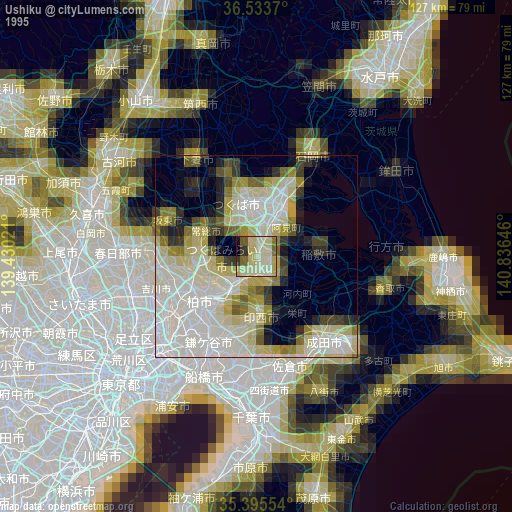
» NASA, Earths city lights 1995
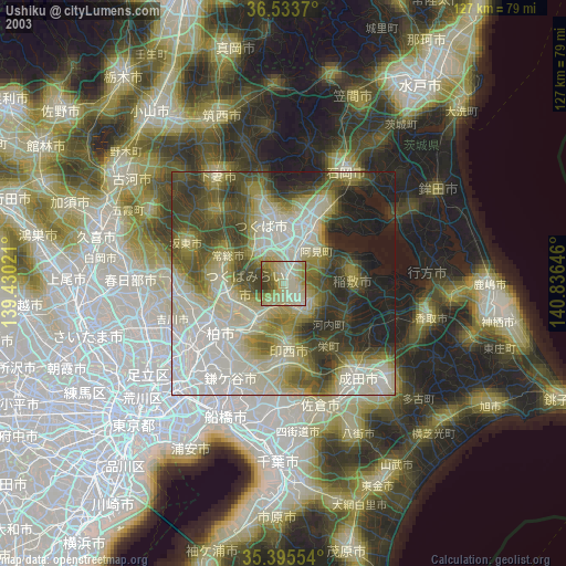
» NASA city lights 2003
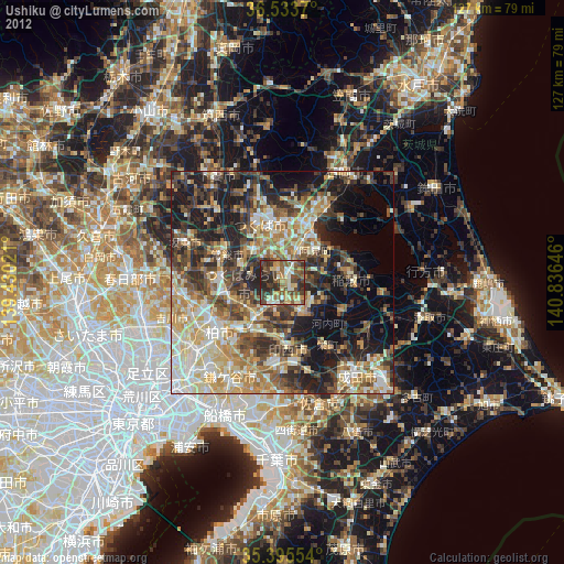
» Earth at Night: Flat Maps 2012, 2016