Inashiki night lights from space
Night Light of Inashiki (Ibaraki) from space (Japan) Src. Average luminocity for 10x10km area is 14.6795% and for 50x50km: 25.9443%.
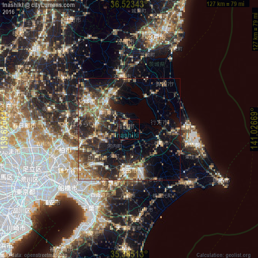
Analysis of Inashiki night lights 2016
Square area 10x10 km:
 0%
0%90-99
1.47%80-89
1.28%70-79
1.1%60-69
2.75%50-59
2.93%40-49
3.3%30-39
4.95%20-29
2.75%10-19
13.55%0-9
65.93%Square area 50x50 km:
1.99%90-99
3.63%80-89
2.34%70-79
3.43%60-69
4.28%50-59
5.2%40-49
6.08%30-39
6.42%20-29
10.16%10-19
12.65%0-9
43.81%Clear (daylight) street map image can be seen on geolist.org.
Map coordinates:
36° 31' 24.3" North, 139° 37' 13.6" East
35° 57' 22.8" North, 140° 19' 24.8" East
35° 23' 6.5" North, 141° 1' 36.1" East
Some cities around Inashiki sort by population:
• Ryūgasaki
14.1 km =8.8 mi,  243°
243°
• Katori-shi
17.1 km =10.6 mi,  112°
112°
• Ushiku
17.2 km =10.7 mi,  273°
273°
• Ami
14 km =8.7 mi,  307°
307°
• Sawara
17.8 km =11.1 mi,  117°
117°
• Naka
17.5 km =10.9 mi, 306°
• Fujishiro
19.1 km =11.9 mi,  256°
256°
• Edosaki
0.9 km =0.6 mi,  221°
221°
6822108 (p: 46,994)
Sources (retrieved 2019-11-25):
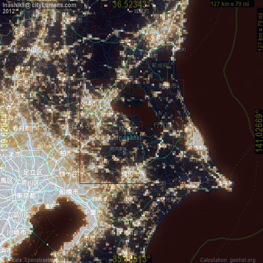
» Earth at Night: Flat Maps 2012, 2016