Ishioka night lights from space
Night Light of Ishioka (Ibaraki) from space (Japan) Src. Average luminocity for 10x10km area is 28.8829% and for 50x50km: 22.2605%.
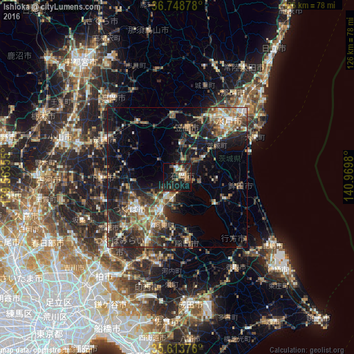
Analysis of Ishioka night lights 2016
Square area 10x10 km:
 1.22%
1.22%90-99
2.97%80-89
1.4%70-79
5.07%60-69
3.85%50-59
3.67%40-49
6.29%30-39
8.39%20-29
11.19%10-19
41.26%0-9
14.69%Square area 50x50 km:
1.62%90-99
3.01%80-89
2.02%70-79
2.51%60-69
3.42%50-59
4.8%40-49
4.73%30-39
5.15%20-29
8.4%10-19
16.04%0-9
48.3%Clear (daylight) street map image can be seen on geolist.org.
Map coordinates:
36° 44' 55.6" North, 139° 33' 48.8" East
36° 10' 60" North, 140° 16' 0" East
35° 36' 49.5" North, 140° 58' 11.3" East
Some cities around Ishioka sort by population:
• Tsukuba
15.1 km =9.4 mi,  277°
277°
• Ami
17.7 km =11 mi,  199°
199°
• Naka
17.3 km =10.7 mi,  211°
211°
• Tomobe
18.8 km =11.7 mi,  9°
9°
• Okunoya
17.5 km =10.9 mi,  50°
50°
• Kasama
22.2 km =13.8 mi,  0°
0°
• Iwase
23.8 km =14.8 mi,  321°
321°
• Makabe
17.6 km =10.9 mi,  301°
301°
2112571 (p: 52,304)
Sources (retrieved 2019-11-25):
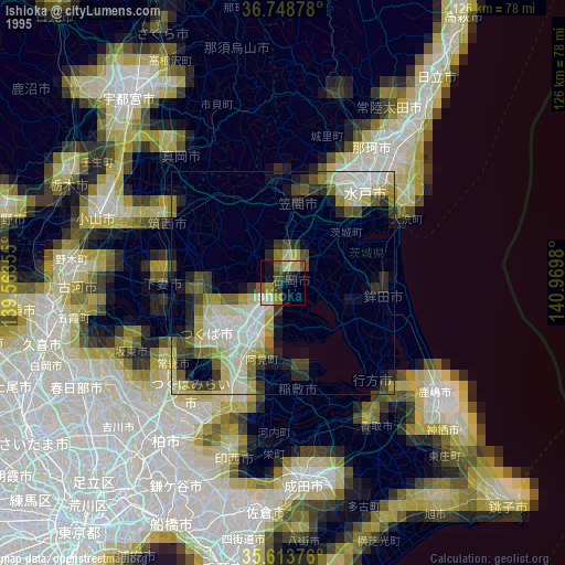
» NASA, Earths city lights 1995
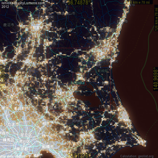
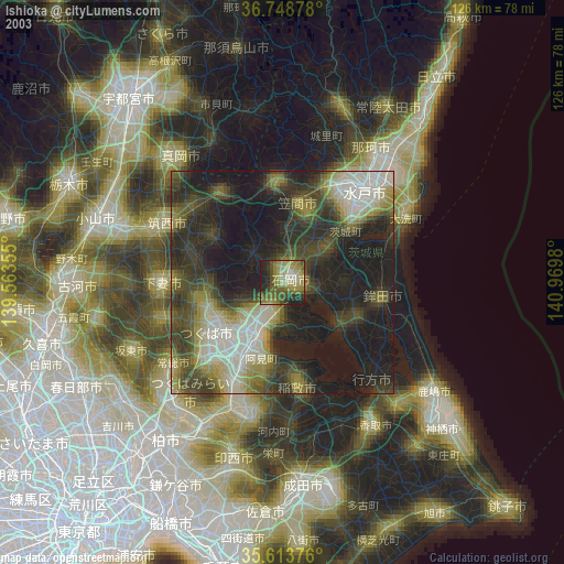
» NASA city lights 2003
» Earth at Night: Flat Maps 2012, 2016