Nagai night lights from space
Night Light of Nagai (Yamagata) from space (Japan) Src. Average luminocity for 10x10km area is 5.9123% and for 50x50km: 4.4972%.
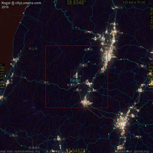
Analysis of Nagai night lights 2016
Square area 10x10 km:
 0%
0%90-99
0.16%80-89
1.14%70-79
0.32%60-69
1.62%50-59
0.65%40-49
1.46%30-39
2.44%20-29
1.3%10-19
1.3%0-9
89.61%Square area 50x50 km:
0.19%90-99
0.42%80-89
0.49%70-79
0.54%60-69
0.67%50-59
0.91%40-49
1.16%30-39
0.86%20-29
1.86%10-19
2.66%0-9
90.22%Clear (daylight) street map image can be seen on geolist.org.
Map coordinates:
38° 39' 17.3" North, 139° 19' 54.8" East
38° 6' 13" North, 140° 2' 6" East
37° 32' 53.6" North, 140° 44' 17.3" East
Some cities around Nagai sort by population:
• Yamagata
32.4 km =20.1 mi,  63°
63°
• Yonezawa
22.7 km =14.1 mi,  161°
161°
• Tendō
40.3 km =25 mi,  46°
46°
• Higashine
49.1 km =30.5 mi,  40°
40°
• Sagae
36.4 km =22.6 mi,  34°
34°
• Kaminoyama
21.6 km =13.4 mi,  75°
75°
• Murakami
50.3 km =31.3 mi,  286°
286°
• Takahata
17.7 km =11 mi,  129°
129°
2111781 (p: 31,026)
Sources (retrieved 2019-11-25):
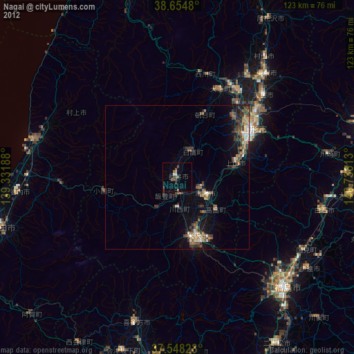
» Earth at Night: Flat Maps 2012, 2016