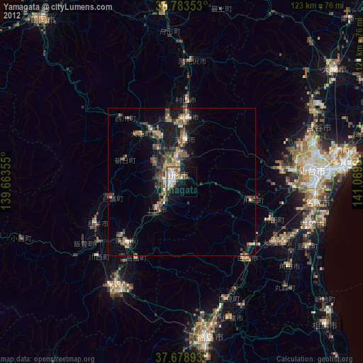
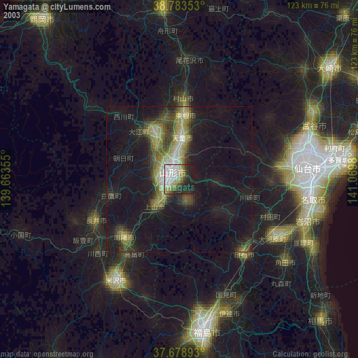
Yamagata night lights from space
Night Light of Yamagata from space (Japan) Src. Average luminocity for 10x10km area is 40.4065% and for 50x50km: 8.2466%.
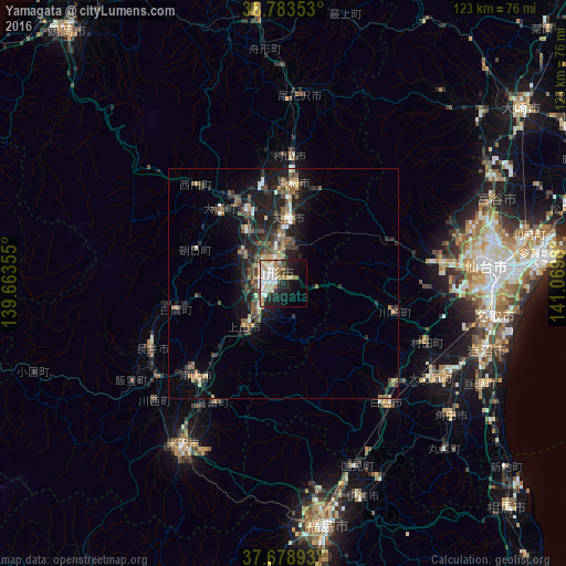

Analysis of Yamagata night lights 2016
Square area 10x10 km:
 8.16%
8.16%90-99
9.69%80-89
7.99%70-79
4.08%60-69
5.44%50-59
2.55%40-49
1.53%30-39
1.87%20-29
12.93%10-19
18.88%0-9
26.87%Square area 50x50 km:
0.54%90-99
1.06%80-89
0.92%70-79
0.85%60-69
0.87%50-59
1.79%40-49
1.77%30-39
1.42%20-29
3.49%10-19
6.96%0-9
80.31%Clear (daylight) street map image can be seen on geolist.org.
Map coordinates:
38° 47' 0.7" North, 139° 39' 48.8" East
38° 13' 60" North, 140° 22' 0" East
37° 40' 44.1" North, 141° 4' 11.3" East
Some cities around Yamagata sort by population:
• Tendō
13.4 km =8.3 mi,  1°
1°
• Higashine
23 km =14.3 mi,  7°
7°
• Sagae
17.5 km =10.9 mi,  332°
332°
• Shiroishi
33.7 km =20.9 mi,  139°
139°
• Kaminoyama
12 km =7.5 mi,  222°
222°
• Nagai
32.4 km =20.1 mi,  243°
243°
• Takahata
29.9 km =18.6 mi,  210°
210°
• Ōkawara
38 km =23.6 mi,  122°
122°
2110556 (p: 254,538)
Sources (retrieved 2019-11-25):
» NASA, Earths city lights 1995
» NASA city lights 2003
» Earth at Night: Flat Maps 2012, 2016