Yonezawa night lights from space
Night Light of Yonezawa (Yamagata) from space (Japan) Src. Average luminocity for 10x10km area is 26.9659% and for 50x50km: 2.6108%.
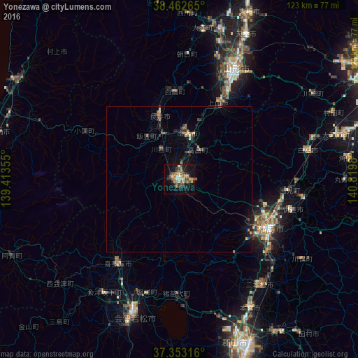

Analysis of Yonezawa night lights 2016
Square area 10x10 km:
 1.79%
1.79%90-99
1.46%80-89
4.06%70-79
3.57%60-69
6.17%50-59
5.68%40-49
5.68%30-39
4.55%20-29
6.49%10-19
23.21%0-9
37.34%Square area 50x50 km:
0.07%90-99
0.1%80-89
0.35%70-79
0.3%60-69
0.47%50-59
0.43%40-49
0.59%30-39
0.48%20-29
0.81%10-19
1.68%0-9
94.72%Clear (daylight) street map image can be seen on geolist.org.
Map coordinates:
38° 27' 45.5" North, 139° 24' 48.8" East
37° 54' 36" North, 140° 7' 0" East
37° 21' 11.4" North, 140° 49' 11.3" East
Some cities around Yonezawa sort by population:
• Fukushima
35.5 km =22.1 mi,  120°
120°
• Yamagata
42.1 km =26.2 mi,  31°
31°
• Kitakata
36.3 km =22.6 mi,  217°
217°
• Kaminoyama
30.4 km =18.9 mi, 26°
• Nagai
22.7 km =14.1 mi,  341°
341°
• Takahata
12.2 km =7.6 mi, 32°
• Hobaramachi
39.4 km =24.5 mi,  105°
105°
• Inawashiro
38.2 km =23.7 mi,  180°
180°
2110498 (p: 94,486)
Sources (retrieved 2019-11-25):
» NASA, Earths city lights 1995
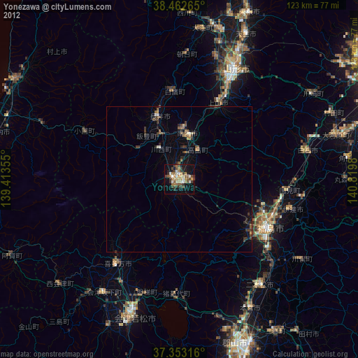
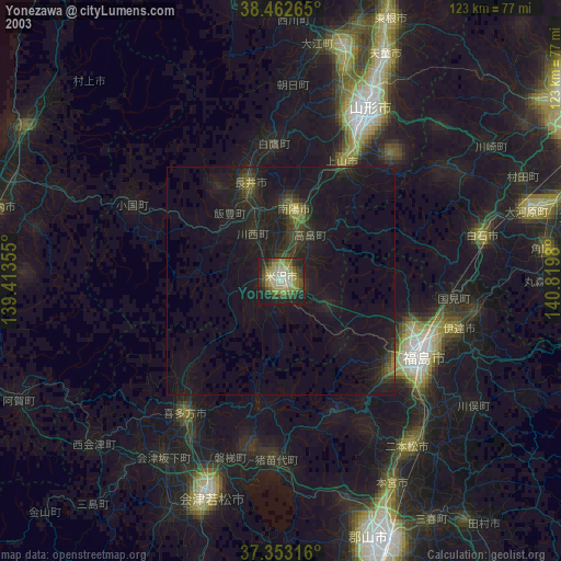
» NASA city lights 2003
» Earth at Night: Flat Maps 2012, 2016