Suibara night lights from space
Night Light of Suibara (Niigata) from space (Japan) Src. Average luminocity for 10x10km area is 3.6327% and for 50x50km: 9.8785%.
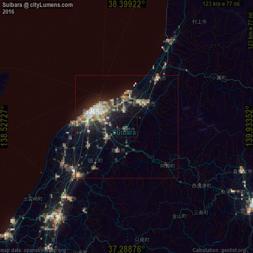
Analysis of Suibara night lights 2016
Square area 10x10 km:
 0%
0%90-99
0%80-89
0%70-79
0%60-69
0%50-59
0%40-49
2.04%30-39
2.04%20-29
1.19%10-19
1.36%0-9
93.37%Square area 50x50 km:
0.73%90-99
1.36%80-89
1.02%70-79
1.13%60-69
1.77%50-59
1.51%40-49
2.11%30-39
1.88%20-29
3.3%10-19
6.95%0-9
78.24%Clear (daylight) street map image can be seen on geolist.org.
Map coordinates:
38° 23' 57.2" North, 138° 31' 38.2" East
37° 50' 45.9" North, 139° 13' 49.4" East
37° 17' 19.5" North, 139° 56' 0.7" East
Some cities around Suibara sort by population:
• Niigata
20.2 km =12.6 mi,  282°
282°
• Shibata
14.7 km =9.1 mi,  38°
38°
• Niitsu-honchō
10.8 km =6.7 mi,  241°
241°
• Shirone
20.5 km =12.7 mi, 243°
• Gosen
13.7 km =8.5 mi,  204°
204°
• Kameda-honchō
11 km =6.8 mi,  285°
285°
• Kamo
26.5 km =16.5 mi,  220°
220°
• Muramatsu
17.8 km =11.1 mi, 196°
1851494 (p: 20,392)
Sources (retrieved 2019-11-25):
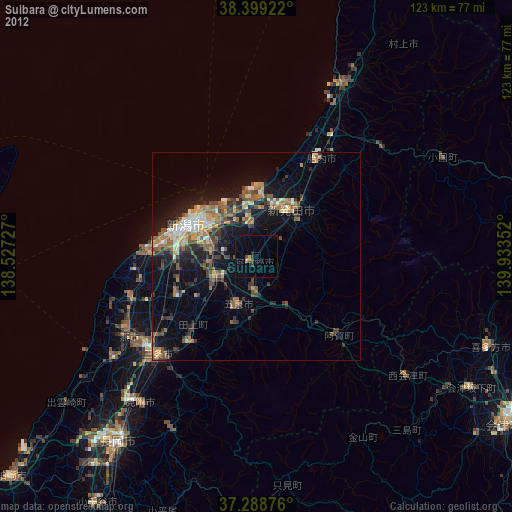
» Earth at Night: Flat Maps 2012, 2016