Niigata night lights from space
Night Light of Niigata from space (Japan) Src. Average luminocity for 10x10km area is 54.1769% and for 50x50km: 9.7932%.
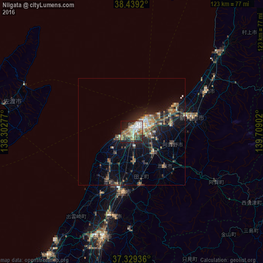
Analysis of Niigata night lights 2016
Square area 10x10 km:
 10.39%
90-99
11.69%80-89
6.82%70-79
5.84%60-69
8.44%50-59
9.58%40-49
8.6%30-39
6.98%20-29
14.29%10-19
14.77%0-9
2.6%Square area 50x50 km:
0.73%90-99
1.31%80-89
0.96%70-79
0.97%60-69
1.7%50-59
1.5%40-49
2.26%30-39
2.01%20-29
3.35%10-19
7.29%0-9
77.93%Clear (daylight) street map image can be seen on geolist.org.
Map coordinates:
38° 26' 21.1" North, 138° 18' 10" East
37° 53' 10.9" North, 139° 0' 21.2" East
37° 19' 45.7" North, 139° 42' 32.5" East
Some cities around Niigata sort by population:
• Niitsu-honchō
14 km =8.7 mi,  133°
133°
• Shirone
13.7 km =8.5 mi,  174°
174°
• Gosen
22.1 km =13.7 mi,  140°
140°
• Kameda-honchō
9.3 km =5.8 mi,  99°
99°
• Kamo
24.8 km =15.4 mi, 174°
• Maki
18.6 km =11.6 mi,  215°
215°
• Yoshida-kasugachō
25 km =15.5 mi,  205°
205°
• Suibara
20.2 km =12.6 mi, 102°
1855431 (p: 505,272)
Sources (retrieved 2019-11-25):
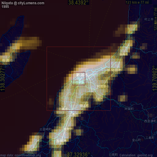
» NASA, Earths city lights 1995
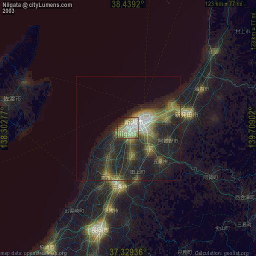
» NASA city lights 2003
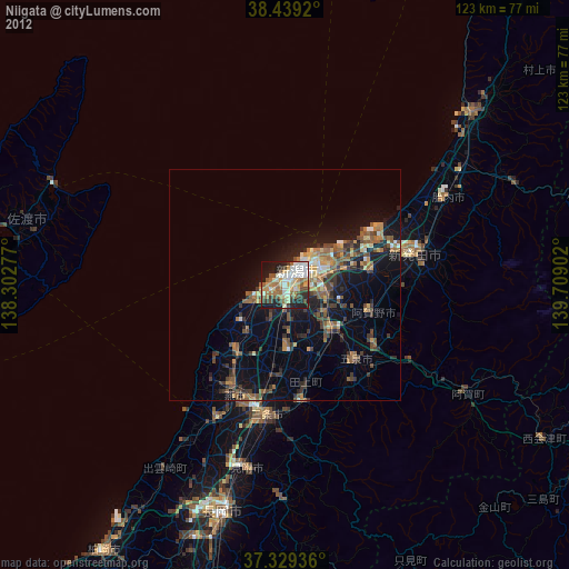
» Earth at Night: Flat Maps 2012, 2016