Kameda-honchō night lights from space
Night Light of Kameda-honchō (Niigata) from space (Japan) Src. Average luminocity for 10x10km area is 42.5049% and for 50x50km: 10.707%.
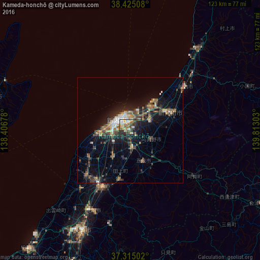
Analysis of Kameda-honchō night lights 2016
Square area 10x10 km:
 3.9%
3.9%90-99
8.12%80-89
6.17%70-79
5.36%60-69
6.49%50-59
5.36%40-49
6.82%30-39
10.71%20-29
17.21%10-19
24.19%0-9
5.68%Square area 50x50 km:
0.76%90-99
1.4%80-89
1.01%70-79
1.07%60-69
1.85%50-59
1.71%40-49
2.52%30-39
2.2%20-29
3.49%10-19
7.73%0-9
76.26%Clear (daylight) street map image can be seen on geolist.org.
Map coordinates:
38° 25' 30.3" North, 138° 24' 24.4" East
37° 52' 19.7" North, 139° 6' 35.6" East
37° 18' 54.1" North, 139° 48' 46.9" East
Some cities around Kameda-honchō sort by population:
• Niigata
9.3 km =5.8 mi,  279°
279°
• Shibata
21.4 km =13.3 mi,  66°
66°
• Niitsu-honchō
8.1 km =5 mi,  172°
172°
• Shirone
14.3 km =8.9 mi,  212°
212°
• Gosen
16.2 km =10.1 mi,  162°
162°
• Kamo
24 km =14.9 mi,  195°
195°
• Suibara
11 km =6.8 mi,  105°
105°
• Muramatsu
20.7 km =12.9 mi, 164°
1860648 (p: 32,765)
Sources (retrieved 2019-11-25):
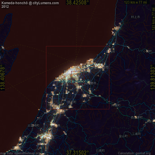
» Earth at Night: Flat Maps 2012, 2016